
For backcountry skiers, Portland’s winter landscape is dominated by one big hill: Mount Hood. In the shoulder season, however, a variety of different leg burners are available to whet your vert appetite and prepare your uphill and downhill legs for the winter to come.
Level 1: BPA Road
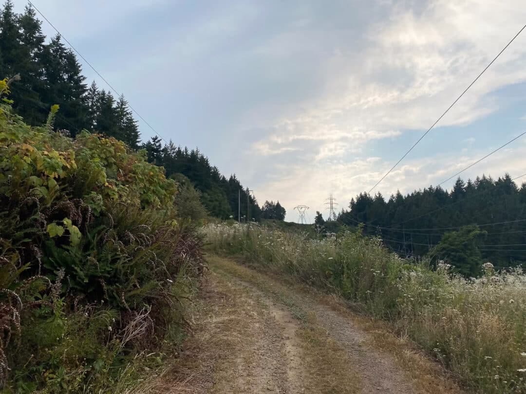
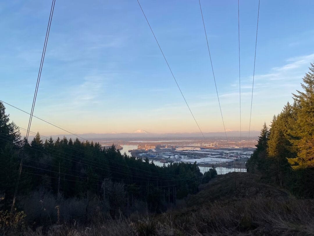
A certified staple of PDX trail runners and backcountry skiers alike, BPA Road at the northern end of Forest Park climbs up a wide access gravel road to a surprisingly scenic viewpoint, if you look past the transmission cables and industrial facilities across the Willamette River to the volcanoes beyond. It’s steep, 20 minutes outside the city center, and free and accessible year-round—what more could you ask for?
Once past the gate at the bottom, you’ll climb nearly 900 feet in just less than a mile, with steep switchbacks down low and a relative softening of the gradient towards the top. Views abound throughout due to the power cables overhead: the usually dense forest has been cut back for wildfire prevention and utility access. The road largely sticks to the edge of the woods, so you still get a solid dose of greenery, and the climb stays in good condition even in the muddy season with fairly regular regrading and new gravel.
Download options include heading back the way you came (steep), heading down and taking a slight detour onto a similar road that parallels the main climb for the middle part of the descent (still pretty steep), or making a loop further up the road, onto the Wildwood Trail, and back down Newton Road (much less steep but much more circuitous). I was once passed by Vincent Bouillard on this climb, who went on to win UTMB and set the course record at Western States, no doubt in part due to the uphill fitness he gained through the powers of BPA.
| The Metrics | BPA Road Climb |
| Trailhead | BPA Road Trailhead |
| Summit | 919’ |
| Distance, one way | .97 miles |
| Distance, round trip | 1.94 miles |
| Vertical gain | 889 feet |
| Average grade, whole climb | 16.6% |
| Descent options | Back down the main climb, detour onto “BPA offshoot”, loop via Wildwood Trail and Newton Road (4miles, 1k vert RT) |
| Season | Any, but can be muddy in winter and hot in the summer |
| Cost | Free! |
| Water | None- stash extra in your car if doing laps |
| FKT Up | Liam Meirow (M): 7:50 Rachel Drake (W): 9:20 |
Level 2: Angel’s Rest
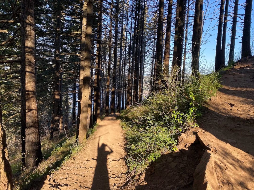
Thirty minutes in the other direction, the climb up to Angel’s Rest in the Columbia River Gorge combines easy access and a well-worn and gently graded trail with one of the area’s most beautiful “summit” panoramas. Though you might be hard-pressed to find solitude on one of the most popular hikes around, Angel’s Rest provides a perfect venue for pre- or post-work training outings as you dream of adventures at slightly higher elevations.
The trail up Angel’s Rest winds its way through lush forest lower down and switchbacks up through scrubby post-burn areas further towards the top. Except for two notable rocky sections, the trail is largely wide and runnable, though nearly sidewalk-firm from all the foot traffic. After two miles and around 1500 feet of vert, hang a left at the one split in the trail and you’ll be rewarded with an excellent view of the Columbia River, the mountains around you on either side of the Gorge, and the city skyline of Portland in the distance. The descent is supremely runnable (or hikeable), bringing you back to your car an hour or so after you began, but with a worthwhile adventure under your belt.
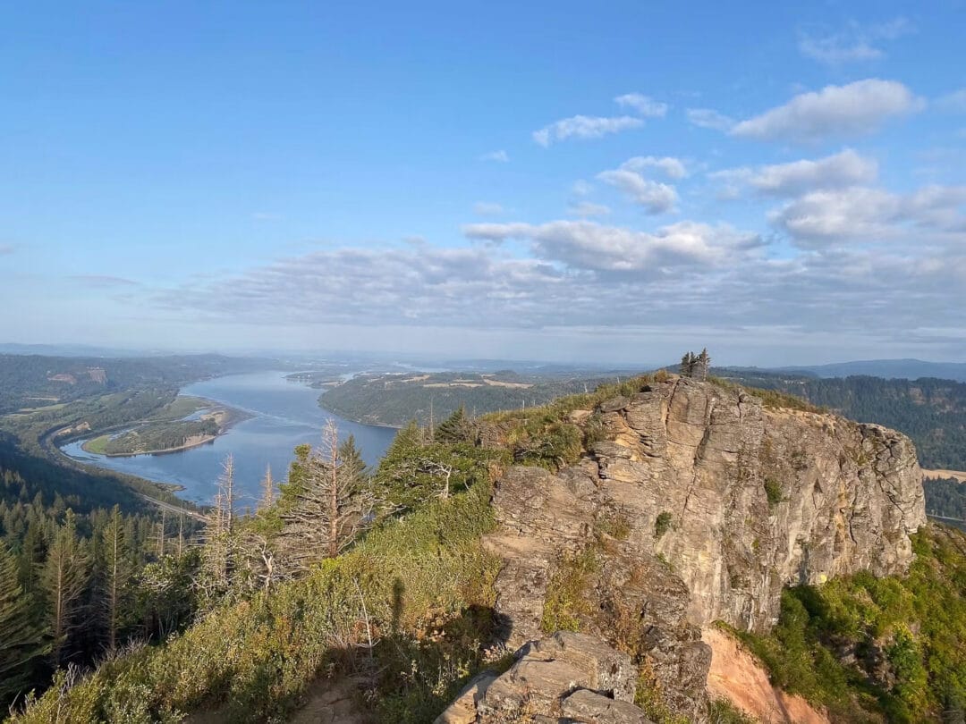
Angel’s Rest from near the trail junction up top; the highest point is by those trees in the center right of the image.
| The Metrics | Angel’s Rest |
| Trailhead | Angel’s Rest Trailhead |
| Summit | 1612’ |
| Distance, one way | 2.1 miles |
| Distance, round trip | 4.2 miles |
| Vertical gain | 1490’ |
| Average grade, whole climb | 13% |
| Descent options | Return the way you came, or continue to further loop options out to Devil’s Rest |
| Season | All seasons, though may be snow covered at some points midwinter (and you’ll be skiing anyways) |
| Cost | Oregon State Parks pass or $10 per day |
| Water | Multiple streams to filter from down lower on the trail |
| FKT up (to trail split): | Michael Moore (M): 19:32 Courtney King Griest (W): 25:44 |
Level 3: Dog Mountain
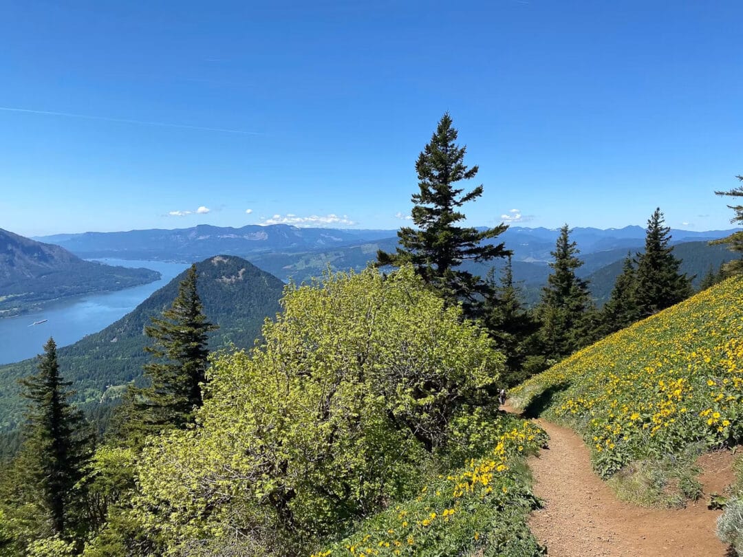
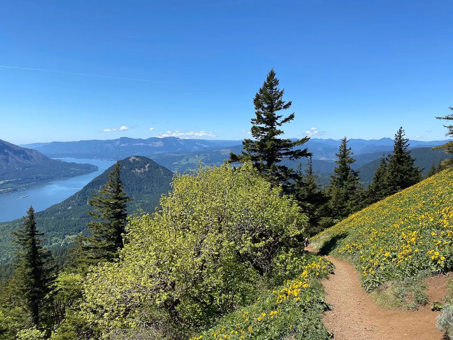
Dog Mountain is another Gorge classic, best known for its beauty during the spring wildflower season, but also a perfect shoulder-season training ground to prepare for winter ski touring and splitboarding. It’s the closest thing to a skintrack you can find in the greater Portland area when there’s no snow.
After an initial half-mile of sometimes rocky trail, you’ll have a choice between a steeper, more direct path climber’s left (19% average), or a marginally gentler, more switchbacked trail climber’s right (17% average). Both options come back together for the final push through wildflower meadows to the summit, 2800 feet above the trailhead and 2950’ above the Columbia flowing far below. Take a break at the top to enjoy the expansive vista, then return down either steep ascent option, or make a larger loop to the Augspurger Trail for a more runnable descent (recommended).
Leave a Reply
You must be logged in to post a comment.