
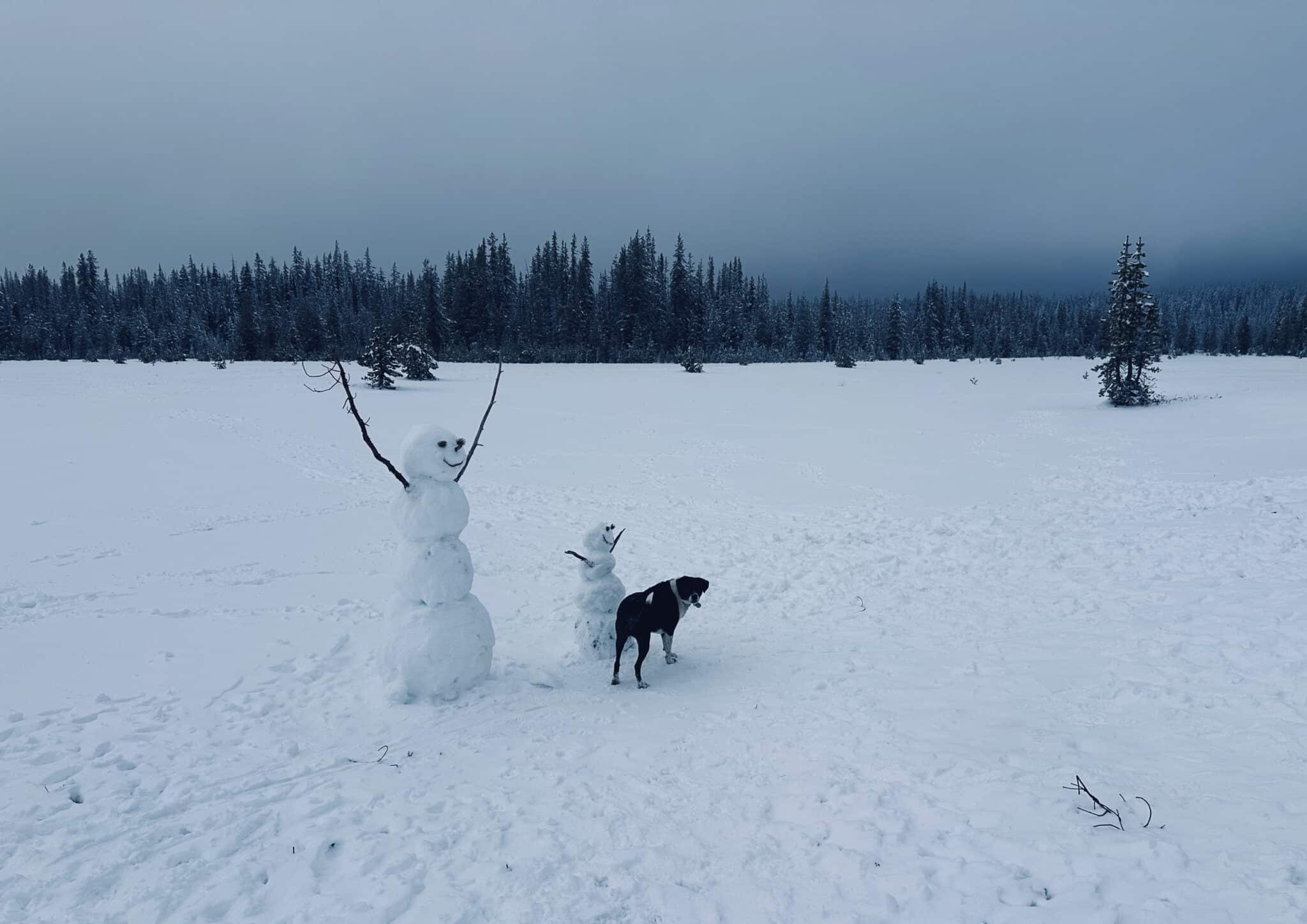
As of October 1st, we are in the 2027 water year for North America. Asthe excellent Mitch Tobin notes, this helps hydrologists keep the wet months organized in a tidy annual demarcation. The 2027 water year ends on September 30th. So, as you know, we are not knee-deep in it yet. Generally, the West had a grim 2026 water year, while those charging in the East will be telling stories of their epicness for maybe a generation. As in, “damn, 2026 was a deep season.”
As of this writing, the underling in our Department of Atmospheric Rivers has rocked skied three times. His experience does not exactly bode well for rock skiing enthusiasts. He said of his outings, “Nice to get out. But it wasn’t even good rock skiing.” So, with that, It’s on to our first SWE update of the season. Like always (or maybe just not last year), some are fairing better than others. Southern Colorado anyone?
Editor’s Note: At the time of publication, our usual go-to for data and maps, the USDA NRCS Interactive Map, is down. (We are getting a “502 Bad Gateway.”) We have put out feelers to determine if this is a short-term or long-term outage. THR has not confirmed this, but we believe it has nothing to do with last week’s FAA nationwide grounding, which we are told resulted from a router installation. Routers—they are always tricky to configure—we get it.
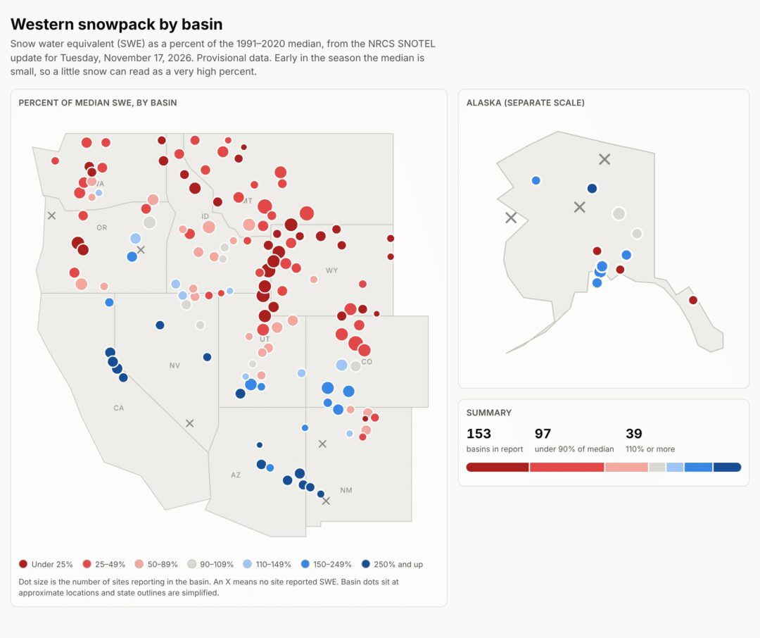
In the meantime, we used up-to-date SWE data (as of 11/16) to map broad trends. Of those trends, they look awfully “red” in the Central Rockies and throughout the PNW. (Good grief!) While those lucky folks in some portions of the Sierra and the Southern Rockies look like, for the most part, the rock skis are where they belong—stashed somewhere and replaced by the sweet planks. And while high SWE is a good thing, with some stations/basins reporting values of over 250%, we know there has been flooding and fine turns. Proceed with caution.
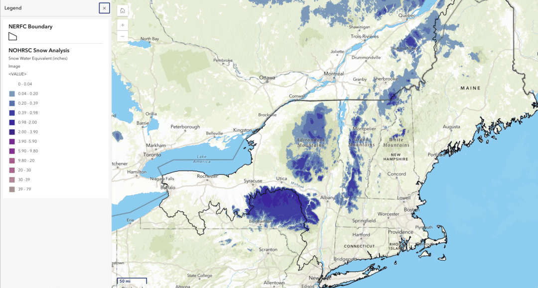
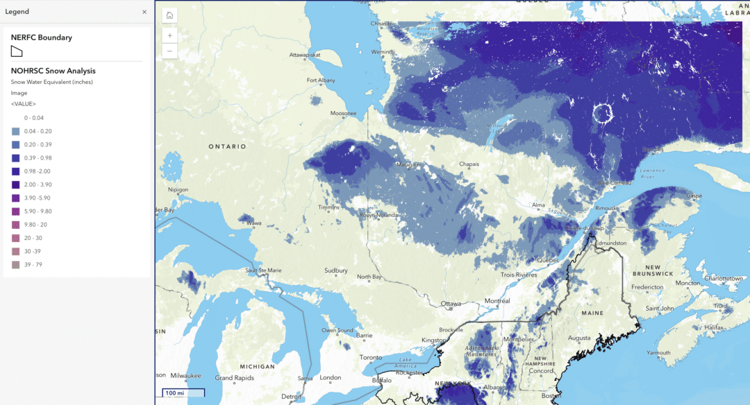
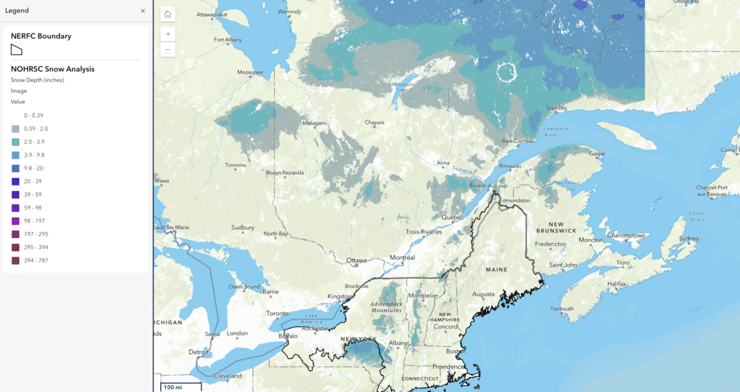
The maps below help provide a snapshot of New England and Canada’s East Coast. The first two maps illustrate SWE, while the third illustrates snow depth. (This information comes from NOAA’s NERFC Dashboard.)

Leave a Reply
You must be logged in to post a comment.