
Glass half full, we remain optimistic. Let’s also eye reality on the ground—it’s been a few weeks, and lots of weather has happened: wet weather and Arctic cold weather and warming trends that had a friend text yesterday: “The skiing got f$&*ed here today….” Context is everything, and where you are likely means everything.…
January Concludes with Improving SWE

SWE for January 28.
Responses
-
How does that map work? I can see all the selection and display options, but I don’t see a “go” button or similar, to actually display it on the map.
-
Hey Slim: I’m using the NWCC iMap (interactive map for Natural Resources Conservation Services). Using Safari as my browser, any parameter I change on the right hand side menu auto-populates in the map. For the basin wide info to display, I’m selecting “basin conditions” in the map mode menu (upper right on menu). The top center of the map displays a small rectangle for the print/export function. Hope this helps, let me know if it does not.
-
I was trying it on my iPad, with Safari, no luck, But on my desktop with safari, it works.
-
-
Latest Features
-
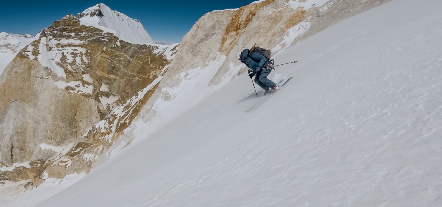
Boris Langenstein on the first ski descent of India’s Meru Central. Photo: Tiphaine Duperier
A First Descent on India’s Meru Central
Tiphaine Dupérier and Boris Langenstein pull off another small-scale big-mountain descent.
-
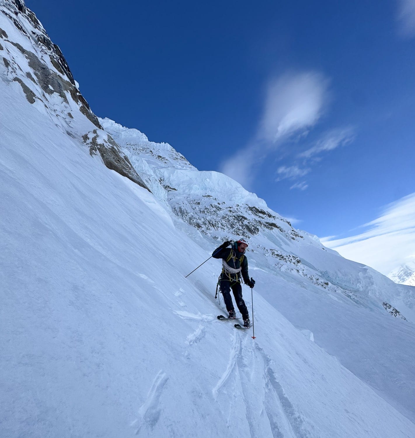
Ryan Griffiths, somewhere cold. Photo: Aidan Whitelaw
The High Route Podcast
The Progression Episode with Ryan Griffiths
-
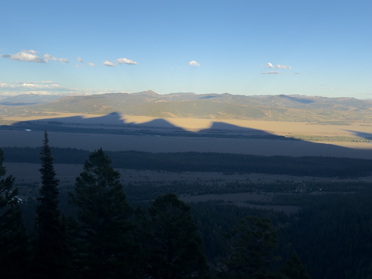
Teton shadows extending toward the Gros Ventre.
Public Lands and the Touring Scene
A look at proposed rule changes in the public lands space that could affect the touring scene.
Leave a Reply
You must be logged in to post a comment.