Understanding when a slope may be in sun, or shade, is a huge assist for spring trip planning. The booter is in place and the objective hazards are minimized on shady couloir. Photo: Alex Lee

Understanding when a slope may be in sun, or shade, is a huge assist for spring trip planning. The booter is in place and the objective hazards are minimized in a shady couloir. Photo: Alex Lee


Determining when a slope is in sun or shade is important for spring planning. With this in mind, Shademap.app is an excellent tool.


We’re somewhat certain where we want to go with this—”sun and shade.” No, this is not a song by James Taylor, Joan Baez, or John Denver. (Ask your parents.) With the time change pivot over the weekend, some of us who’d rather keep the bike in the garage and dream of sunshine on our shoulders as spring skiing inches closer. A time when sun and shade become more important.

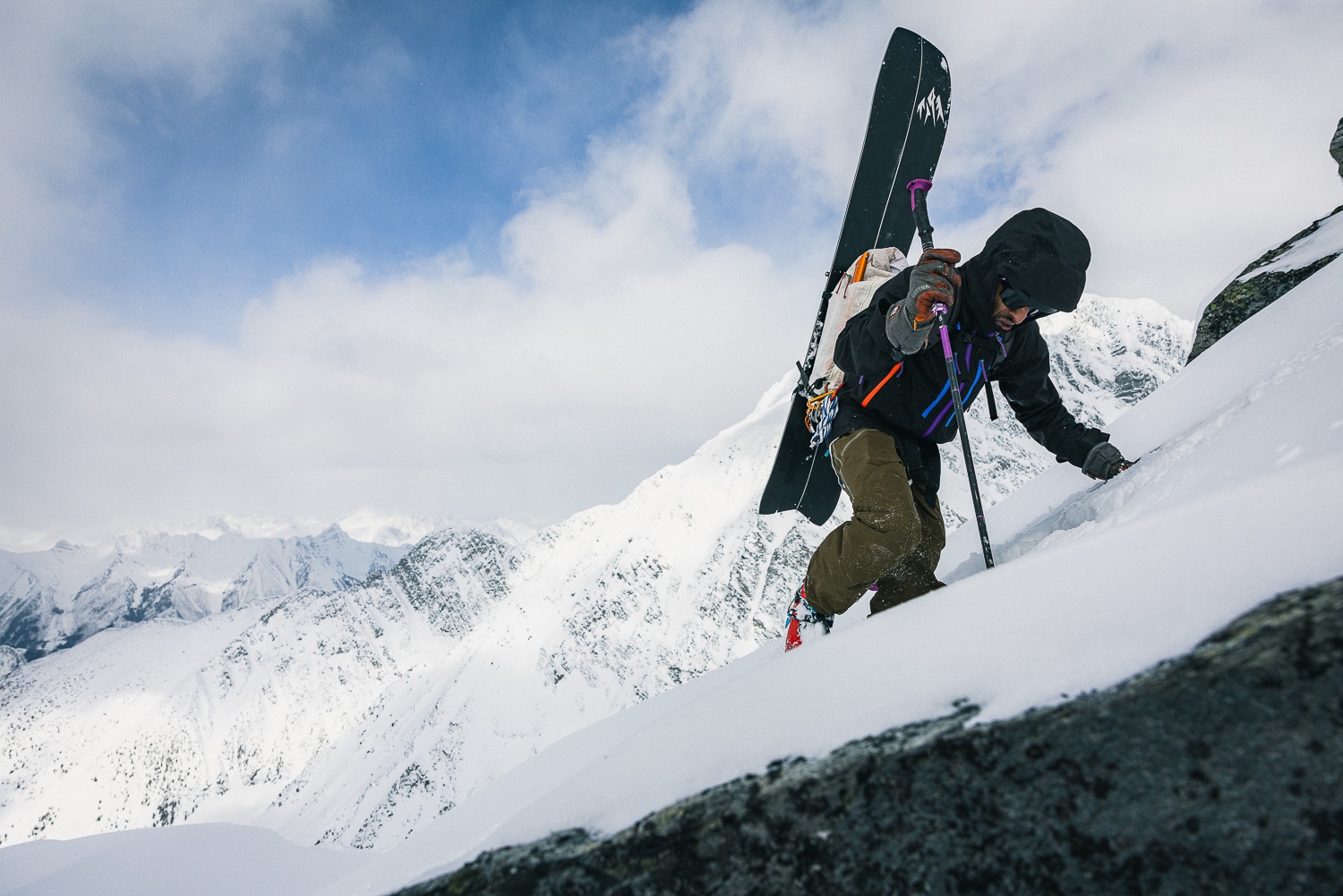
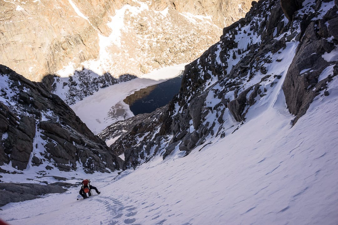
In spring, when many are objective skiing, sun, shade, and, in particular, a knowledge of how much sun and shade a location receives are key data points for planning. Too much early sun, or sun exposure throughout the day, can create unideal snow conditions. An ascent line getting early sun might expose the team to objective hazards like ice, rockfall, or wet slides. 

Often, we seek firm shaded slopes as they can be more efficient to ascend if one is comfortable with the sharps: crampons, axe/axes, and ski crampons. 

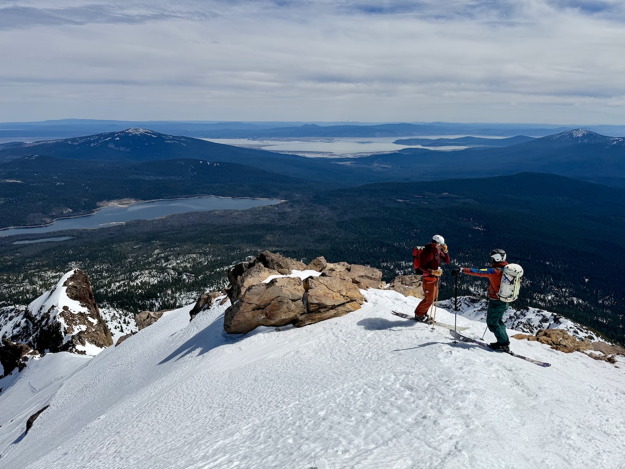
As backcountry tourers, we are concerned about the descent, too. 

Corn snow—that creamy skiff of sun-softened snow laid over a supportable base—is preferable. For corn connoisseurs, just the right amount of sun transforms an otherwise crusty and too-firm slope into an approachable and big fun factor line. It’s a balance. Too much sun and the desired descent may be mashed potatoes. Conversely, as shade encroaches again later in the day, a line will likely experience a refreeze.

It’s also handy to know when a potential camping spot receives a first kiss of the sun in the morning and how much direct sun it may receive (we’re thinking cloudless skies) during the day, before sunset. Campsites matter. 

We could go on, and we will for one more sentence. Sun exposure may also indicate how fast a slope, ridge, or snow bridge (glaciated terrain, anyone) may melt out. 

In short, timing becomes everything. Knowing a slope’s sun exposure is a trip planning assist. But, also know that wind speed and direction, and snow albedo will impact how fast/slow snow softens, too. 

(Some digital mapping platforms offer sun exposure overlays. CalTopo is one such offering.)


With Shademap.app is slick digital platform to display sun exposure/shadows. Note the scrollbar (bottom) in the screengrab—selecting a specific date and time of day is easy.

Shademap.app is a slick digital platform to display sun exposure/shadows. Note the scrollbar (bottom) in the screen grab—selecting a specific date and time of day is easy. The direction line for sunset (red line), direction line for sunrise (orange line), and sun direction line for specific time of day selected (yellow), are shown. All direction lines are optional.


Shademap.app

There is a kind and skilled soul to whom we owe thanks for their creation: shademap.app. For helping discern things like we discussed above—when to find optimal corn, or selecting a campsite—this is a touring friendly tool.

Shademap says the app is “a global simulation of mountain, building and tree shadows for any date and time. ShadeMap can calculate shadow locations in realtime and display them on a map. ShadeMap can also aggregate shadows over time to calculate how many hours of sun or shadow a specific location gets over the course of a day or an entire year.”

The platform offers a base map showing contours (meters or feet) or satellite images. For the standard shadows overlay, date and specific time of day are adjusted manually with a slick scrolling tool at the bottom of the map. And for those who like 3-D rendering on a map, shademap.app has it. 

Users can find the tools/overlays for Hours of sun (day or annually) in the data overlays toggle and the search bar’s menu dropdown. The menu dropdown offers Trail Shade (amount/time of sun/shade on a trail section) and GPX Replay, which requires an uploaded GPX track. Go start experimenting. 

To say this is a useful tool is an understatement. And we’ll try to keep it tight. We like it for spring trip planning. And if you like to garden and eat kale or carrots, and you are considering a new garden plot, shademap.app will be useful too. The platform works on computers and phones, no downloadable app necessary.