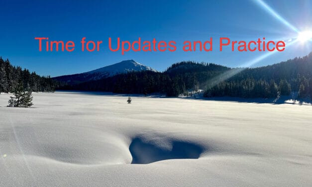
Timing the Corn Cycle: Seeking a Better Understanding
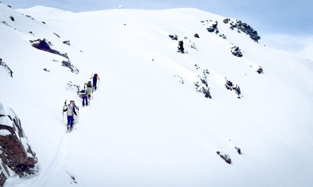
Sometimes all the variables align: timing the corn cycle right can make ski touring in spring all that much better.
In our Avalanche Department, readers can find stories on best practices, snow science, tools, education and awareness, and regional forecasts. This information is not a substitute for gaining experience and continuing your avalanche education. Please be safe.

Sometimes all the variables align: timing the corn cycle right can make ski touring in spring all that much better.

Press Release: Black Diamond recalls the Recon LT Avalanche Transceiver. In some cases, the metal contact of the Recon LT’s switch mechanism may corrode.
Thanks to a reader’s heads up, it may be time to update your E-avalanche airbag’s firmware.

VOLUNTARY RECALL OF THE NEO BT PRO due to abnormal battery consumption, which may cause the avalanche transceiver (DVA) to restart in a loop. In these cases, the transmit and search modes become inactive.
Digital mapping apps are essentials tools for most of us. Our reliance on them should come with some caveats. Let’s consider digital elevation models and their promise and shortcomings.
