El Niño
Called El Niño because it historically shows up auspiciously around Christmas. Typical conditions in the Pacific Ocean pull warm water from South America along Westerly trade winds to Asia and an upwelling of cold water along the coast of the Americas. El Niño describes a weakening of these trade winds, such that warm water moves back east.
Changing ocean conditions changes climate patterns. In the U.S., warm water off the West Coast brings increased precipitation to the typically dry Southwest, above average temperatures further north, and every skier on the continent pouring out tea leaves in hopes of divining snow totals and actualizing pow days.
The PNW tends to see warmer El Niño temps which bring rain and the Northeast tends to end up with a continental El Niño rain shadow and drier winters.
The High Sierra, and Southwest on the other hand, get a boon to snowfall so long as their elevation keeps things cool. Colorado falls a bit in the middle, with a fairly weak signal in the historic record. El Niño can push storm tracks into the state, especially in the Front Range and Southern Mountains, giving CO a higher likelihood of an at least average snow year. If it’s snowy, folks will say it’s El Niño, but that’s far from a given.
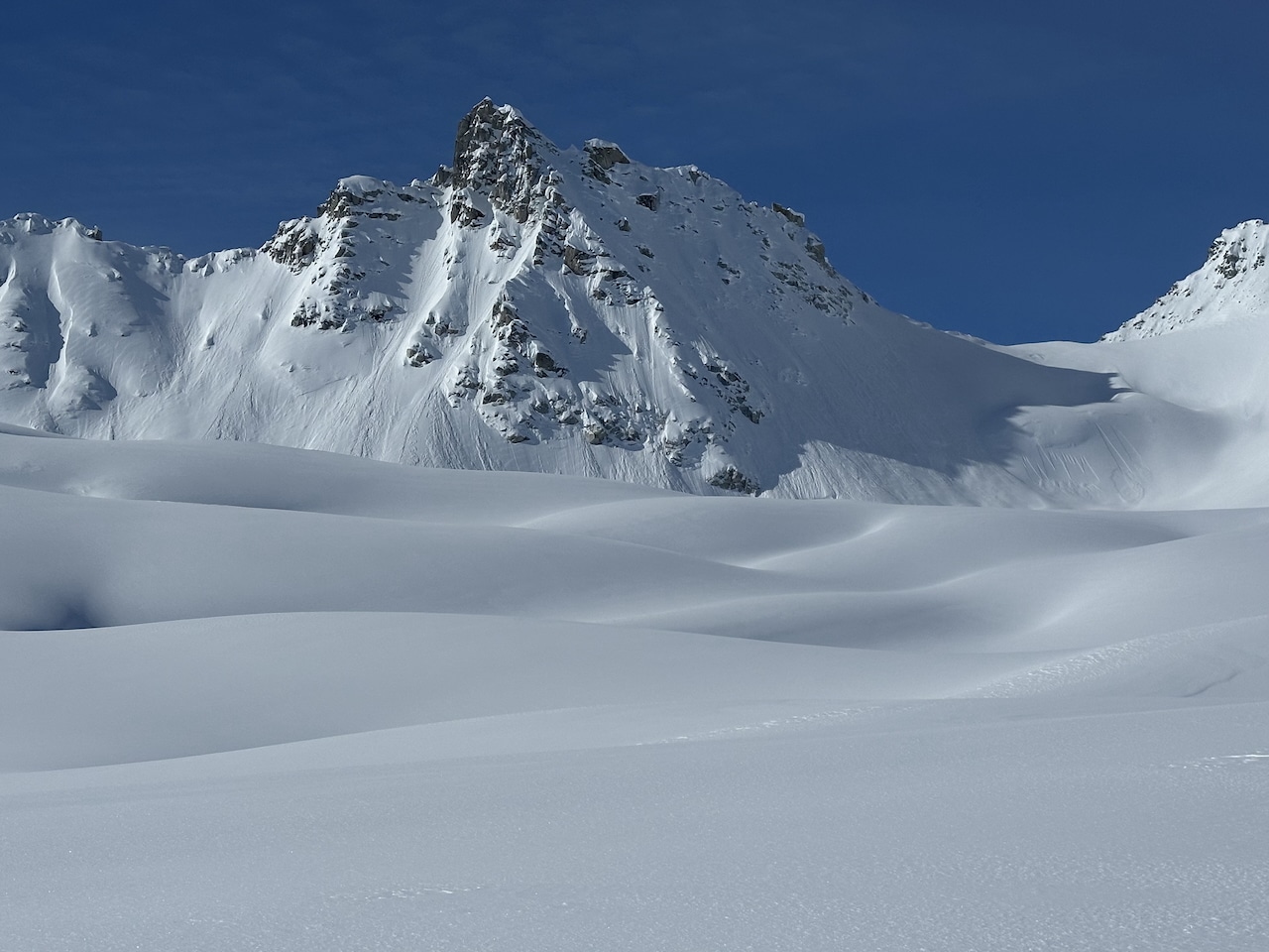
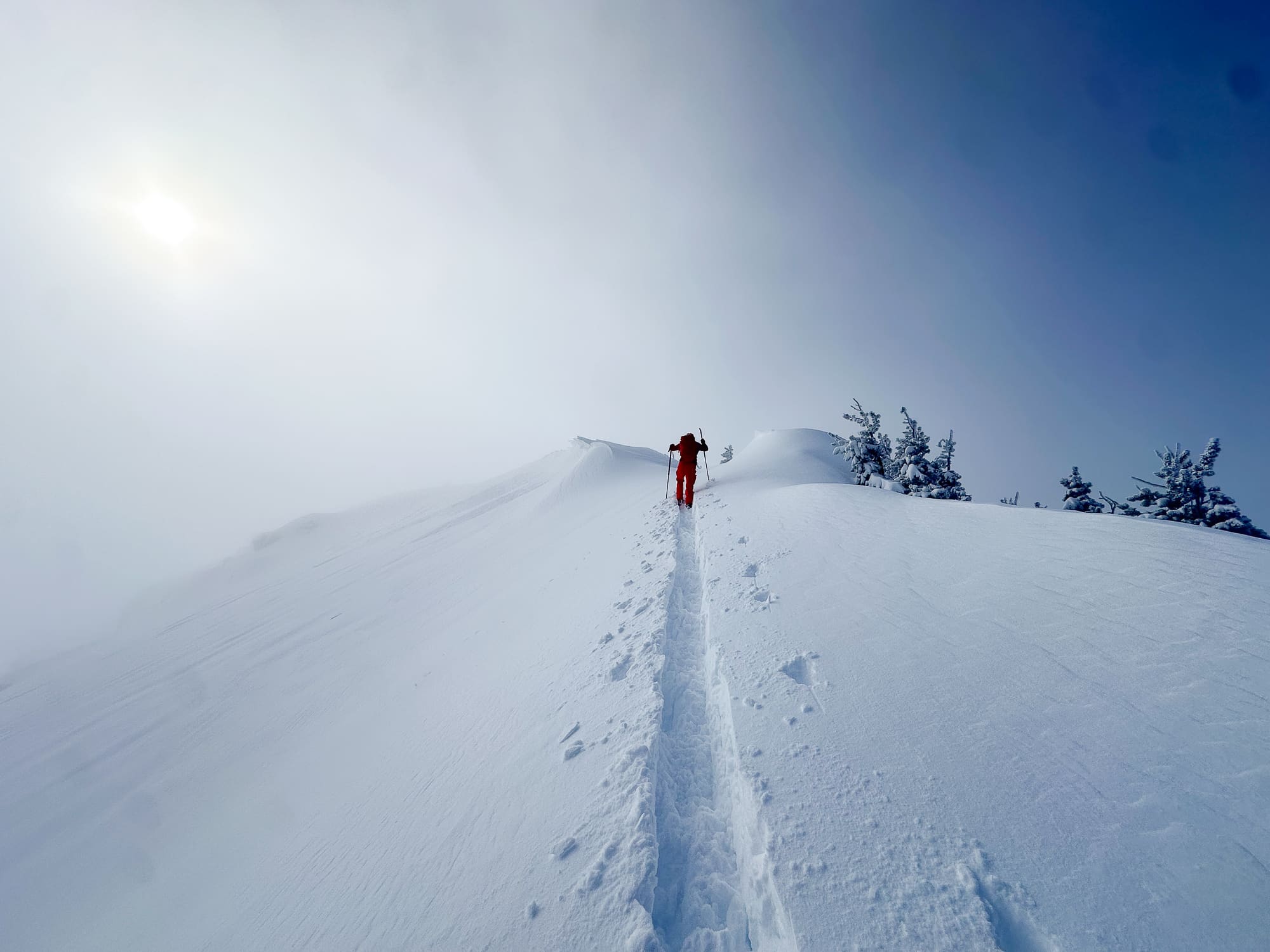
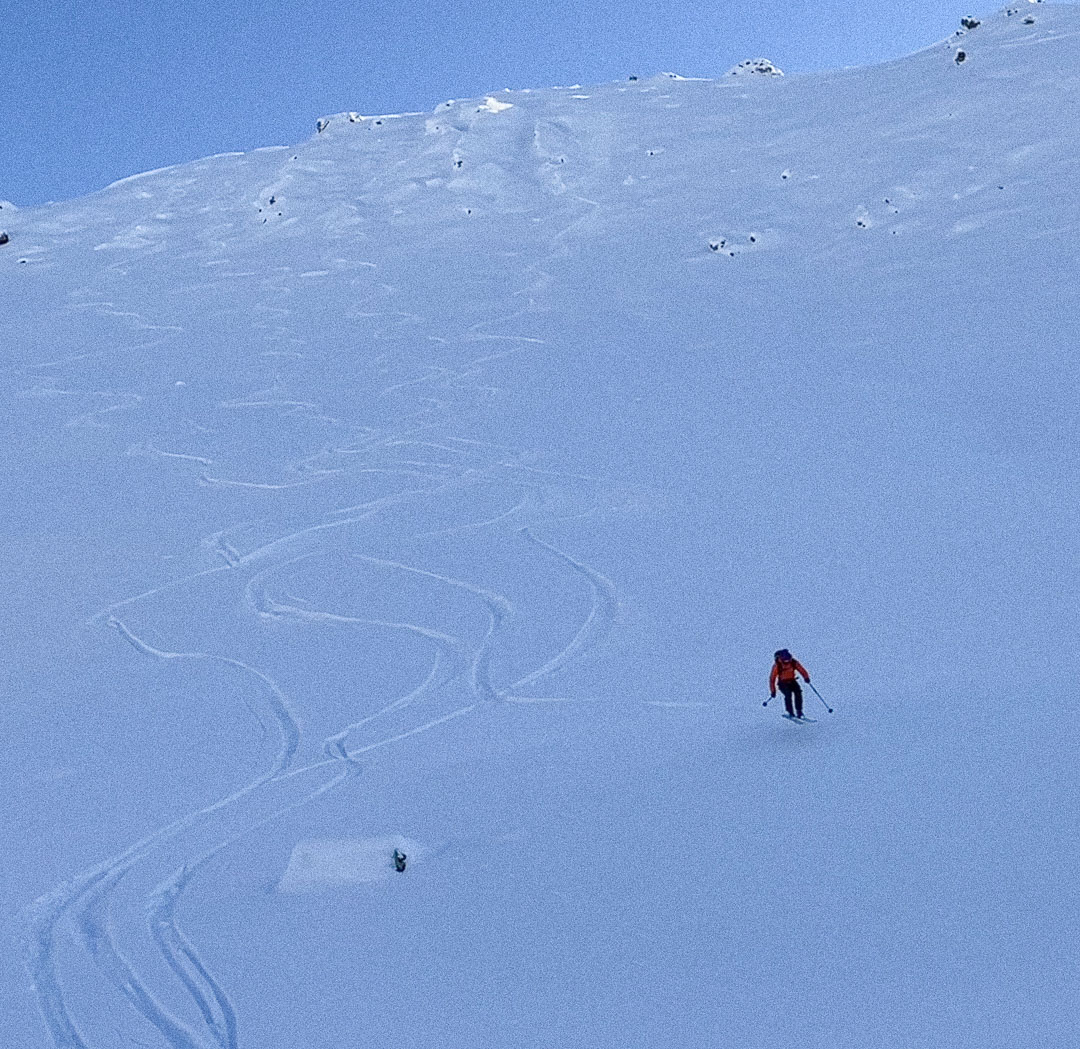
Where skiers in the Western half of the lower 48 rely on altitude to buffer El Niño warming and keep precip snowy, Alaska’s latitude typically provides ample protection. El Niño patterns often bring more north flow storms into the Gulf of Alaska, meaning a wetter than average Chugach, and drier than average interior. The 30 inches of shoveling I started my day with last Thursday seems to be a strong sign of this pattern.