Sometimes all the variables align: timing the corn cycle right can make ski touring in spring all that much better.
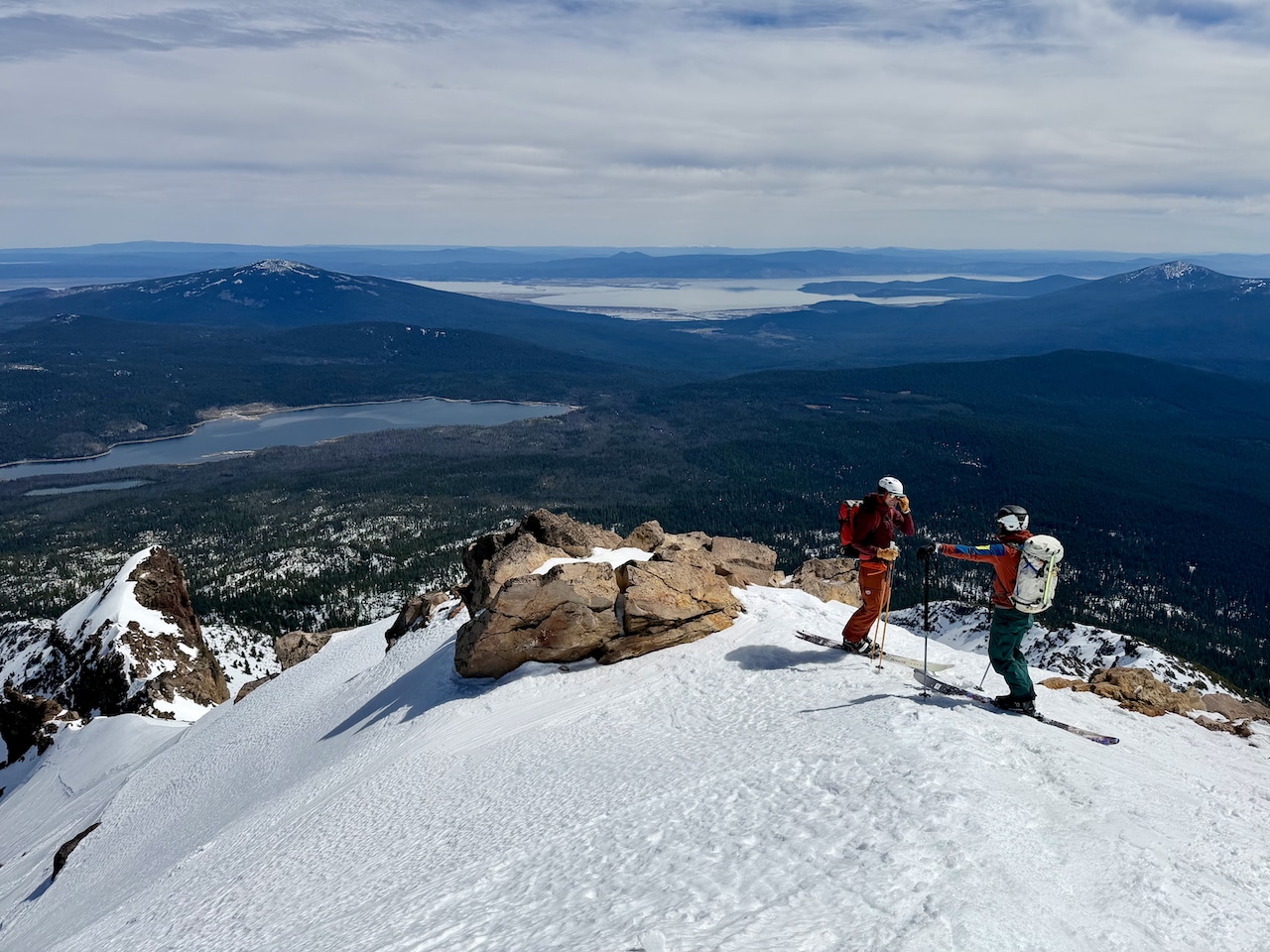
Impatience is a thing. As discussed with a partner on a recent ski tour, we agreed that impatience could ruin an otherwise fine day of spring touring. Here’s one scenario. You get up at 3 AM. You headlamp through breakfast and coffee and much of your approach. There’s the sound of chainmail across the snow (ski crampons) and then a creamsicle sky to the east. You top out, sit above the line for the day, and sometimes, wait. And maybe wait some more. In other words, waiting for snow to corn.
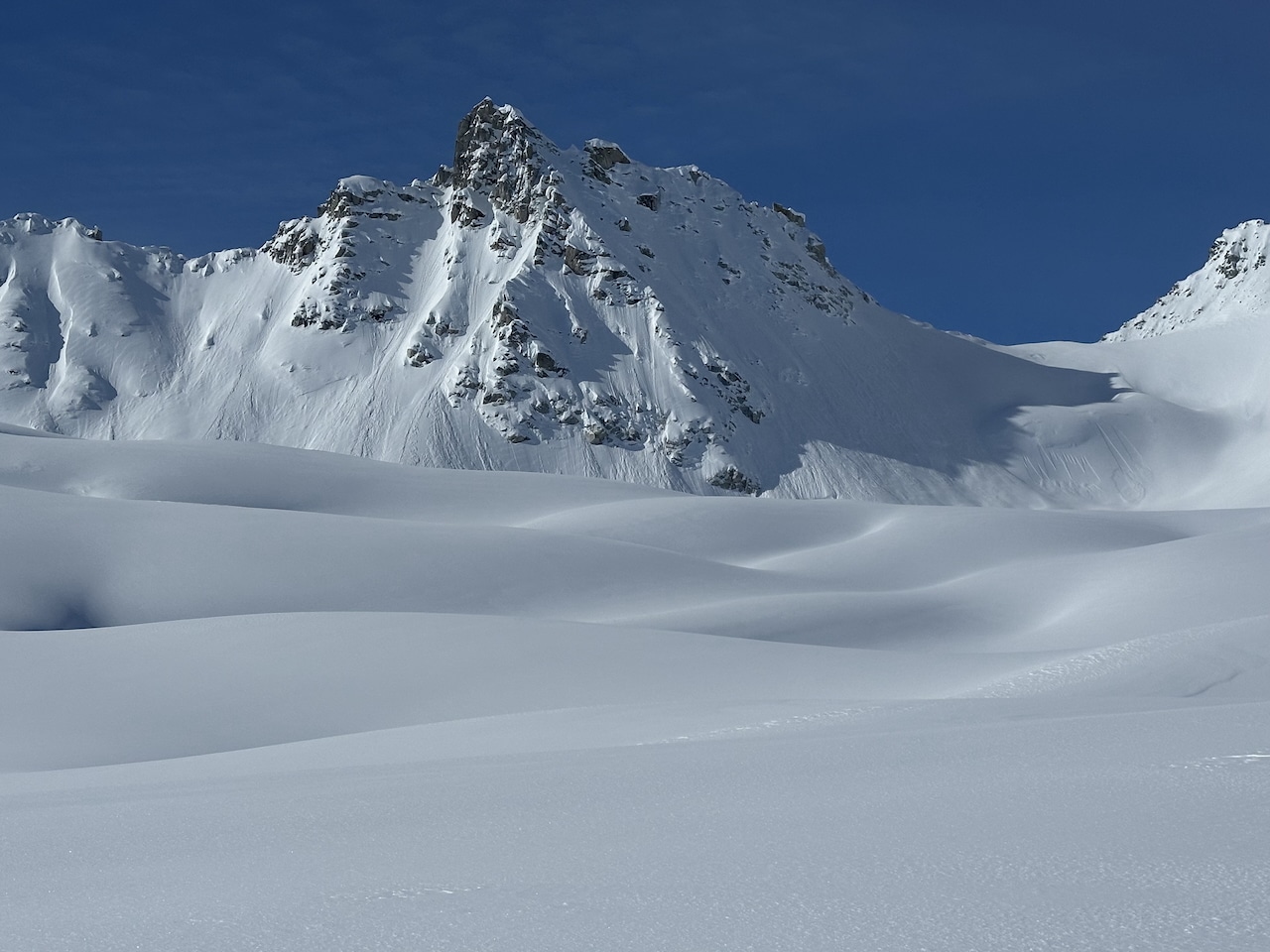
Impatience, sometimes, wins out. You’ll know immediately if you’ve been impatient—you’ll be descending firm and less forgiving snow. About four years ago, I began skiing a line that immediately felt too firm. And it was, for my tastes. I pivoted and skied a more forgiving line.
Although the sky was clear and there was plenty of solar radiation that day, an unexpected upslope wind kept the slopes firm. In the four years since, I’ve become more patient—at least waiting for corn.
I’ve got a few simple rules. If I am objective skiing, I cherry-pick the weather. I seek splitter high pressure, low winds, and moderate temps, even at higher elevations for our parts. Again, I want the snow to soften to some degree. Last week, I returned to the line I pivoted on four years prior. I found ideal conditions: no wind, just above-freezing air temps, no clouds, and lots of solar radiation. We eyed the east-facing slope; already, the sun had kissed this aspect for a few hours when we arrived at 9:30 AM. We had expected to wait an hour or so for things to soften. (Part of my historic impatience results from waking and arriving too early with too much time on my hands.) Not this time. The snow was already soft.
Timing is everything.
Although I’ve been chasing wellness through backcountry touring for years, I now know there’s a lot I still don’t know. Often I screw up the timing. There are many things to consider regarding corn snow and finding the moment when the snow surface is just so. We’ll touch on a few below. However, we don’t dive into the time of year (winter or spring) and slope aspect here, but they are variables to consider.
As some readers know, the Wasatch Weather Weenies’ site is an excellent weather resource for better understanding snow and atmospheric dynamics. Run by Jim Steenberg, Wasatch Weather Weenies has two particularly useful pieces that may help you (and me) better understand when and how we may find corn snow. I’ll link to these articles below.
- Snow Doesn’t Have to Melt When the Temperature Is above 0˚C
- How Can Snow Freeze When Temperatures Are Above 32˚F?
If you take the time to read Jim’s words in the pieces linked above, you’ll understand that snow melting and snow freezing isn’t so simple. But I’ve tried to make it simple for myself when trying to descend certain lines. As noted—I want ideal conditions. (Thus, the more patience part.) So I emailed Steenberg some questions regarding the basic conditions I sought so he could provide some atmospheric and snowpack science know-how.
The Basics: Air temps are above freezing, it’s sunny, and there’s little to no wind. As you note in the articles I have linked, it’s likely a net positive energy influx for the snowpack. The snow surface begins to warm-soften-melt when/if the snowpack is 32 degrees. What are some of the basics going on here?
Steenburg: If it is sunny out, let’s assume that skies are clear. In this scenario, the snow is emitting longwave radiation, but there is very little longwave radiation coming in (the longwave in) because the skies are clear. In this scenario, you can have warming of the snowpack by the portion of the incoming solar radiation that is absorbed by the snow, but cooling of the snowpack by the longwave radiation. If the latter is more than the former, the snow won’t melt. This is most common when the sun angle is low or indirect. This can happen even when *air* temperatures are above 32F (especially if the relative humidity is low).
Scenario 2: Clear skies, dry air, low winds, little to no cloud cover, and strong solar radiation. Can I expect the snow surface to soften?
Steenburg: If the solar radiation is strong, chances are the snow is going to melt, at least at or near the surface, unless temperatures are well below 32F. This happens a lot, for example, on south aspects in Utah in the winter. Those aspects get a good deal of solar energy near noon time, and often, you get a brief melt period. This leads to a melt-freeze crust, sometimes referred to as a “zipper crust” later in the day as the sun goes down and the snow refreezes. Same scenario in April, when the day is longer and, the sun even higher in the sky, and the intensity of the melt is greater and deeper.
Scenario 3: A similar scenario to the above: clear skies, dry air, little to no cloud cover, strong solar radiation, but we have steady winds hitting the slope we’d like to ski. Why might the slope not soften?
Steenburg: If the winds are stronger, then you are constantly mixing the air mass just above the snowpack. This can help remove energy from the snow (the sensible heat flux in the diagram) that might be able to offset the solar heating.
More Complexity: Please add any scenarios we might want to consider and how they may relate to snow softening or remaining firm.
Steenburg: There are a myriad of possibilities depending on the time of year, the latitude, the aspect, the slope angle, the temperature, the humidity, and the cloud cover. Yes, that’s a lot. A key thing to remember that we often forget is that radiation is really important in driving the energy balance of the snowpack. Snow can melt when the air temperature is below freezing if the solar radiation is strong. Snow can remain frozen when the air temperature is above freezing if the longwave cooling is greater than the solar heating. If the humidity is low, the sublimation (a type of evaporation in which the ice turns into vapor) can also have a cooling effect on the snow, which is why it is harder to get snow to melt if it’s very dry. On the other hand, you can get condensation on the snow when the dewpoint is above 32F, which releases energy into the snow and can drive melt even faster.
I don’t know if this helps or if it is simply as clear as mud. There’s a lot more to snow melt than air temperature.