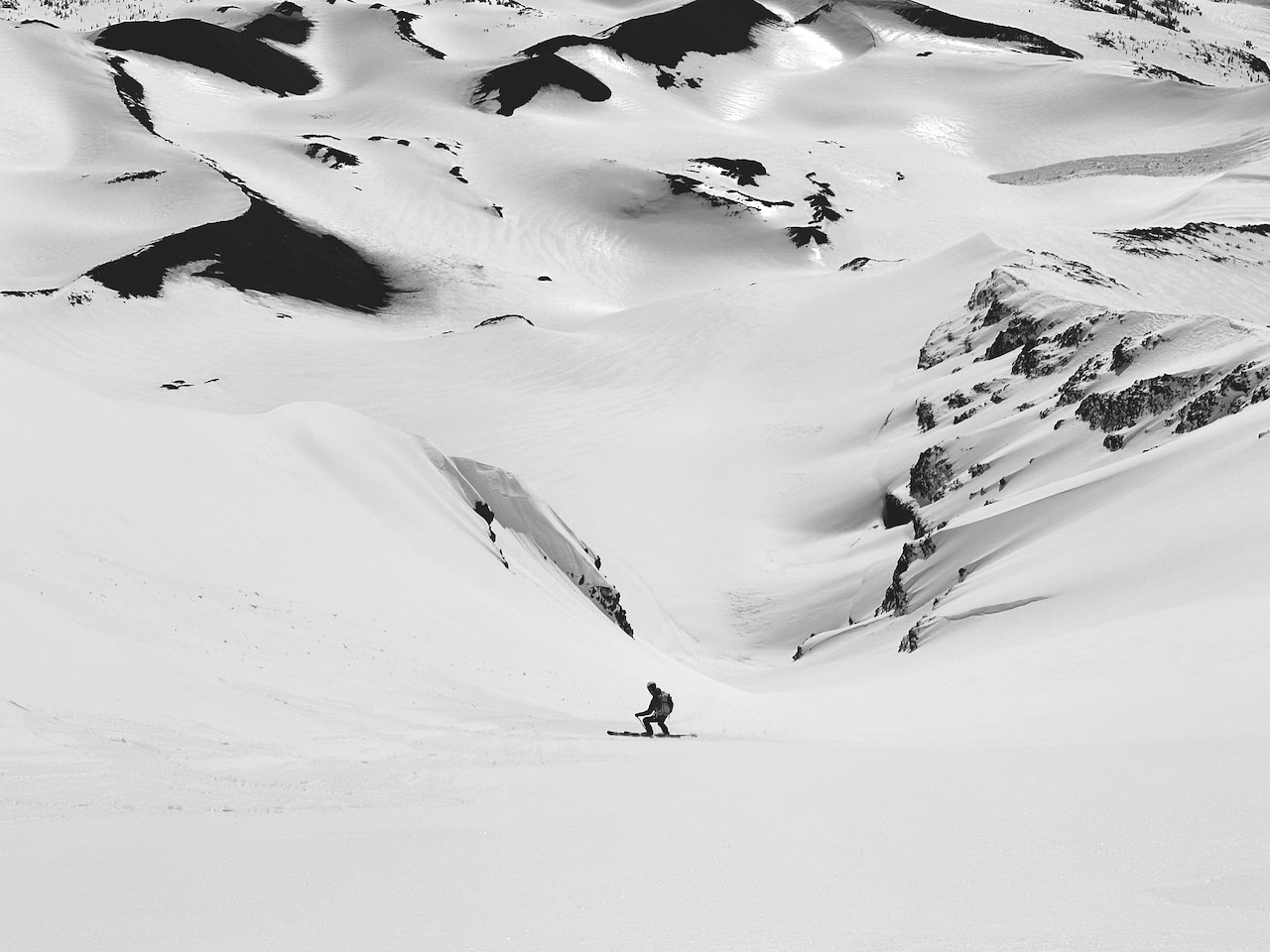
Weather forecasting, literally projecting what the future beholds, trends towards a more exact science. How precise depends on how a forecast plays out in reality rather than the predicted outcome. It can go either way; the forecasted 15″ of powder arrives overnight, just as your long-planned hut trip begins. Or, it plays out like this: the highly anticipated storm shifts south, while the skied-out terrain surrounding the hut, desperate for a re-fresh, remains the residue of cast-off tracks left by the past party at the hut. In those cases, we recommend seizing the day anyway—touring without the reward of great turns is a reward.
The lede here is written to say this much: weather forecasting has come a long way. Yet, as can be expected, accuracy increases forecasting in the short or close to the short-term, whereas, say, seven days out, things are still wishy-washy to some degree. If you have spent time in the backcountry, you know how this goes. Be prepared for the unexpected as the atmosphere, physically dynamic and tough to predict, is an unwieldy beast no matter how much supercomputing power you have.
But we are hardwired, nonetheless, to predict outcomes. And to want our predictions to be accurate as planning for a known future becomes easier. So, yup, we like to forecast the weather. We’re not going down this wormhole, but wars depend on it, economies depend on it, as do the sales of powder skis lining the wall at the mountain collective near you. More importantly, backcountry smiles depend on it.
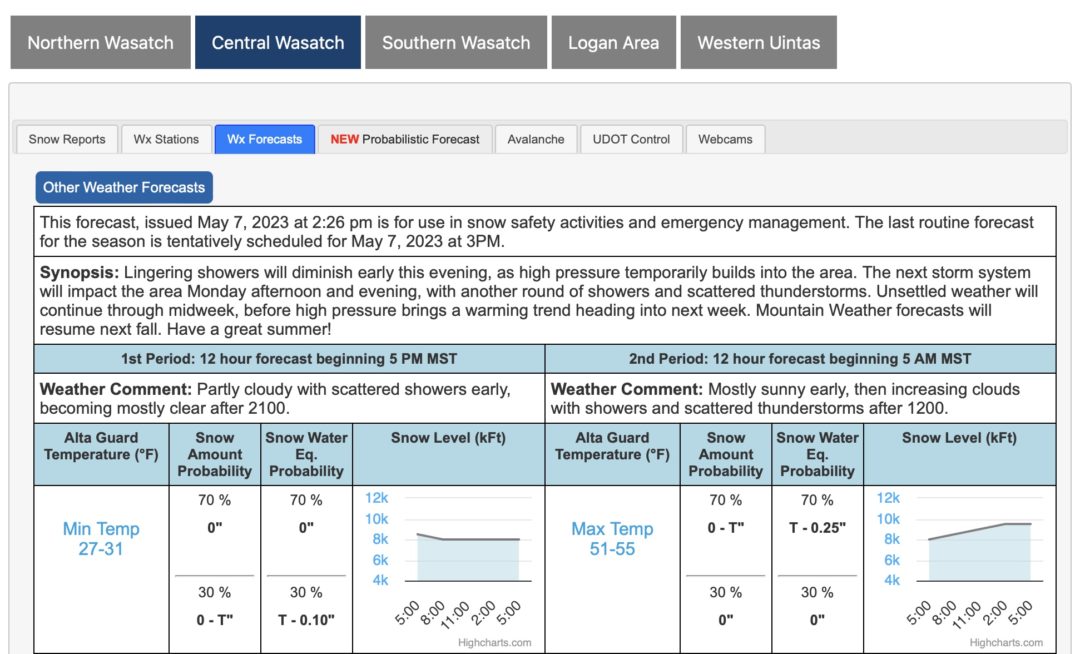
Nowadays, we have an overabundance of weather-forecasting products at our fingertips. You could refine the weather app grind and subscribe to a forecasting service. Many do. On the other hand, you can go the self-taught route, blow a forecast or five along the way, gather data via the web, and fly solo. Flying solo is doable, but following a prescribed workflow eliminates potential inefficiencies.
The SkiPig Method
First, we’re taking some forecasting cues from Joe Messina. Messina is a meteorologist in Missoula, Montana and a former avalanche forecaster. With near 100% accuracy, he’ll rip turns with aplomb in the next storm, which might catch you off guard because he effuses chillness.
The Point & Click Forecast
Joe runs a site called skipig.org, a great landing spot for learning about predictive workflows. Logically, Joe begins with an NWS point-and-click forecast to get a general idea of the forecast. This is as simple as clicking on a location on a NWS forecast map.
