
Beta for certain lines can be elusive—a fabled photograph on a long-defunct blog, or a deeply kept secret revealed only through close friendship, or someone with too many beers in them.
Or, you might just stumble upon it on the side of a Quickie Mart or public transit bus.
Here in the Tetons, beta feels stuck fifteen years in the past. If you’re chasing a line, your resources are limited to a small collection of blogs of varying quality—the late Steve Romeo’s TetonAT and Brandon Wanthal’s Ten Thousand Too Far being the most prominent, and in my opinion, the most useful. Without a modern guidebook, beta spreads mostly through word of mouth. Aside from a handful of routes, there are few true “secrets” left, but the scarcity of published knowledge—mostly online—adds to the mystique.
Online, the terrain people talk about here tends to be binary: the super accessible or the super extreme. When I moved here, I downloaded Powder Project, which onX integrates into their maps. Compare the glowing Christmas-light density of the Front Range or the Wasatch to the Tetons—ours looks like you threw Charlie Brown’s tree in a wood chipper. You get the three classics (25 Short, Maverick’s, Wimpy’s), a few spicier chutes, and then it jumps straight to the big stuff: Buck, the Skillet, Middle Teton, the Ford-Stettner. Almost nothing in between.
See below for some regional examples.
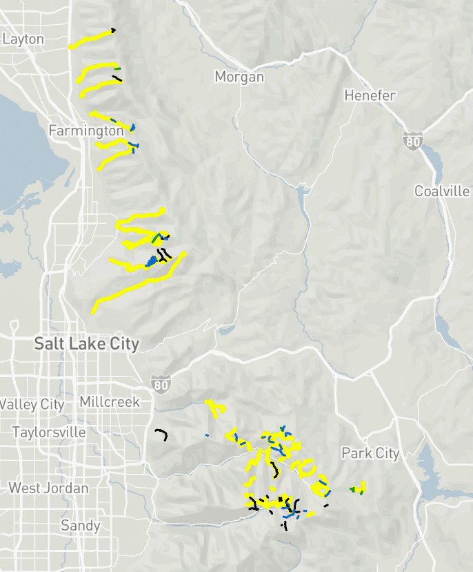
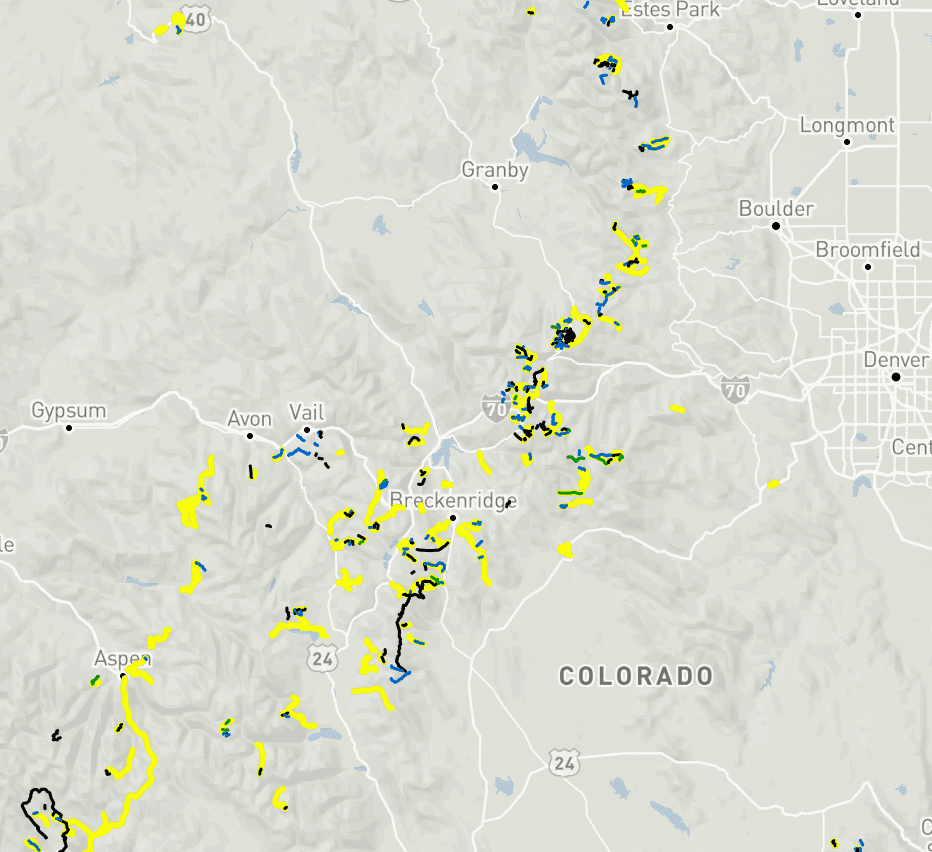
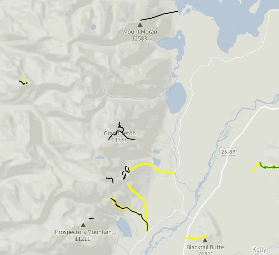
So is that good or bad? I’d argue neither. Eventually, there will be GPX tracks for every line in the park—it’s inevitable. The challenge for most lines I’m interested in, more often than not, is the terrain rather than their physical location on the mountain. But for now, I’m enjoying the mystery and the sense of discovery. The process of scouring the internet, or something arcane like asking a real person for beta, makes the experience of questing into the mountains feel like an actual quest, not a paint-by-numbers exercise.
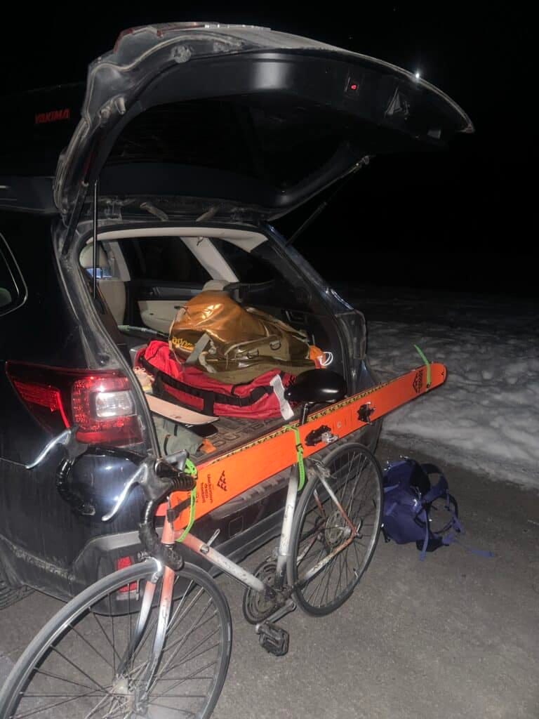
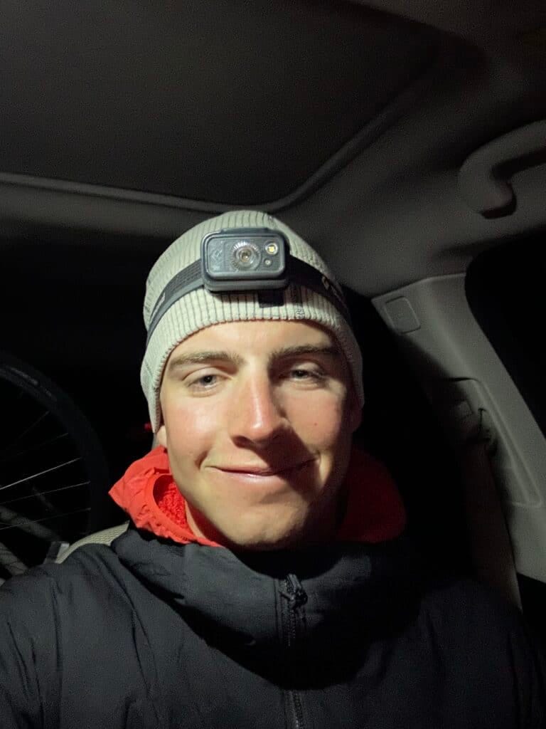
To be very clear, I haven’t discovered anything. I’m no Voytek Kurtyka or Mallory; the “unknown” is subjective. For most people, it doesn’t mean the same thing it did twenty years ago. Since Google Earth launched in 2005, direct comparisons to past explorers don’t really land. That doesn’t discredit the skill and style of today’s riders—it just makes the game different. Colin Haley wrote a great piece in the AAJ describing modern exploration as “speed alpinism,” arguing that today’s pioneering is almost a different sport entirely.
Here’s one quote from Haley that helps establish some context:
“Sport-alpinism is essentially the art of creatively inventing new challenges when the most natural challenge—simply ascending the face of a mountain—is no longer difficult enough to truly inspire a climber or demand all of his or her skill. Climbing solo, climbing fast, traversing multiple peaks, enchaining multiple routes, climbing everything free, avoiding the use of ascenders, or climbing in winter are all dimensions of sport-alpinism. These invented challenges are neither the new future of alpinism to which we should all aspire, nor is sport-alpinism an abomination of traditional ethics that is eroding the purity of the alpine experience. It is simply an evolution, especially in mountain ranges that already have seen a lot of traffic, where the majority of the most natural and compelling lines already have been climbed.”
We see some of Haley’s concept of sport aplinism applied to ski mountaineering through multi-line link-ups and speed efforts. Whether his definition of sport alpinism can be strictly applied to the skiing/riding realm is probably a matter of perspective.
But definitions tend to get messy. My take is simple: beta is not the same as having a GPX track telling you exactly where to put your skis. It’s hard to truly learn a range if you’re just following someone else’s arrow. In the era of GPS-everything, most of us can’t even drive to a familiar place without maps or an audible Siri-assist. Turn the app off, and suddenly the streets feel foreign. That same overreliance can creep into the mountains, too.
Last April, Morgan Comey wrote a thoughtful piece—half love letter to digital mapping, half reminder that “mountain sense” still comes from being in the mountains, not just from staring at a screen.
But back to the person googling “touring in the Tetons” before they drive here. (This was me not so long ago.) No matter how many trip reports, videos, or GPX tracks you download, the moment you step onto steep, complex terrain, it becomes real. It becomes yours. It’s rarely just like the photos. Or the blog. Or the video. And thanks to the nature of snow, even a “50 classic” will always be, on a molecular level, unique.
And if you’re reading The High Route, you probably know exactly what I mean.
Leave a Reply
You must be logged in to post a comment.