
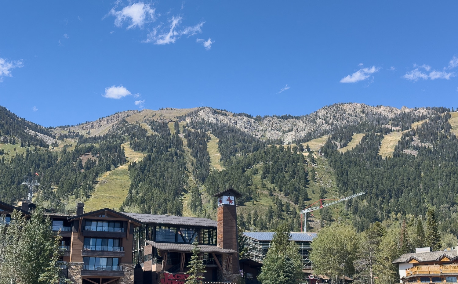
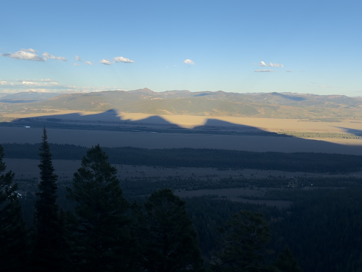
The upside here: more than sufficient vert—just over 4k. Excellent views from the top. Yes, the views, and the thoughts about potential touring. This is why people move here. Ok, to the stats.
Stats
| Metric | Teton Village to Rendezvous Mtn. Summit |
| Trailhead | Teton Village (~6,300 ft) |
| Summit | 10,450 ft |
| Distance, one way | ~5.5 miles |
| Distance, round trip | ~11 miles |
| Vertical gain | 4,100 ft |
| Average grade, whole climb | 13 % |
| Descent options | Reverse the route, other trails down, download on the Tram |
| Season | Check in with the resort, MTB trails open June 6th, Tram begins running on May 6. Tram closes October 4 if you want to download. |
| Cost | Free. Summer parking at Teton Village. Can get crowded in summer. Free tram downloads. |
| Water | Water available at top of Bridger Gondola if lodge is open and atop Rendezvous in summint building. |
| Record Up Men | Joseph Gray 57:56 (2023) |
| Record Up Women | Anna Gibson 1:07:04 (2025) |
The Route
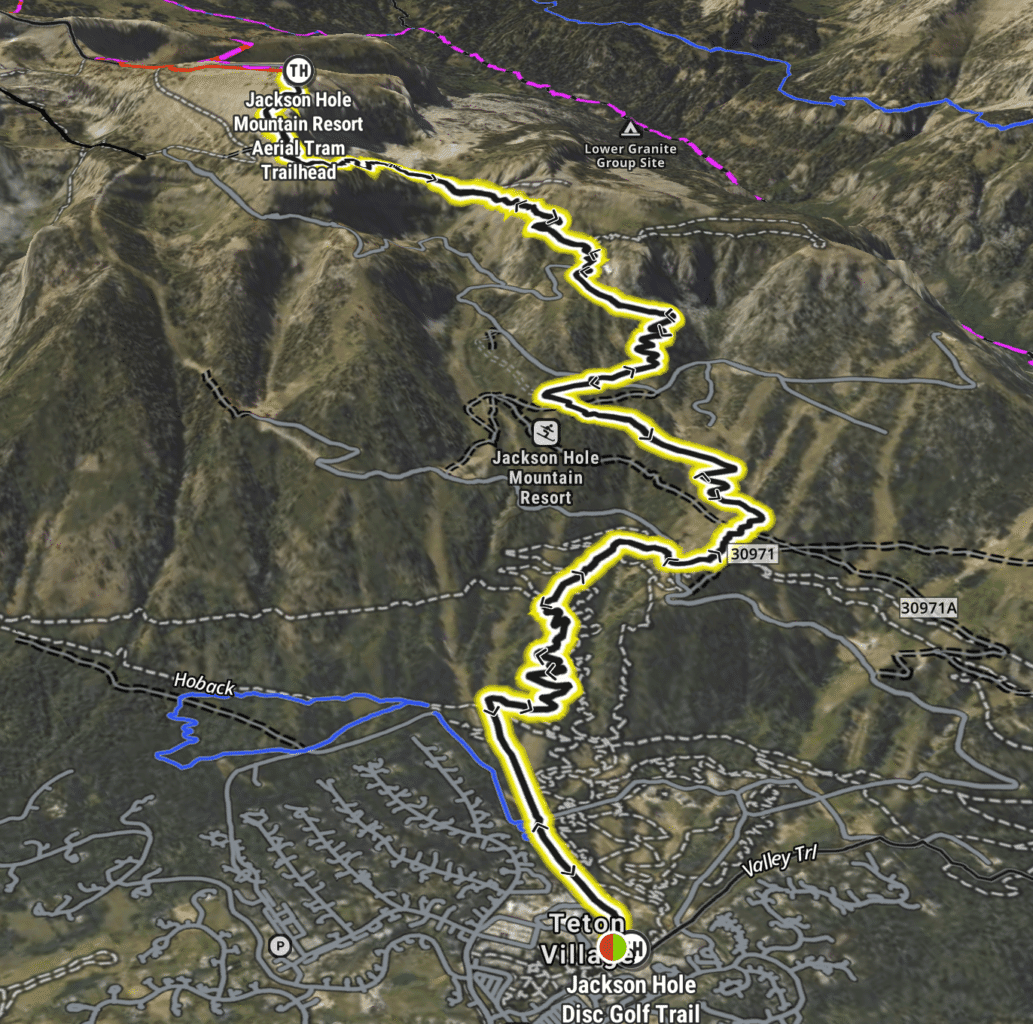
Part 1: Wildflower Trail
The route is pretty darn straightforward. Find your way past the masses at the mountain’s base—make sure to do some people-watching; it is excellent—and find the Wildflower Trail. This trail wanders a bit, hits some groves of trees, and winds upward alongside a downhill mountain biking trail. Pretty much, for the trail’s duration, you’ll pass through mixed forests and out onto exposed ski runs. It’s about 3.8 miles to the top of the Bridger Gondola. At this point, you’ll have ascended about 2,600 feet. Note: these slopes are pretty much east-facing; the trail catches light early. In summer, even if you sleep in a bit and get a semi-late start, it can get hot. If the mountain is operating, the Bridger Gondola building has washrooms and a water refill station. If you need food and drinks, bring $/card. You can score grub there.
Just above the gondola station and to the south (it’s not far), the Cirque Trail begins.
Part 2: Cirque Trail to Summit
This section, which is decidedly alpine, generally works west and south (mostly south) toward Rendezvous Mountain’s summit. (In total, it’s about 1.8 miles and another 1,470 feet to the top. You literally traverse across a wide-open cirque, move through some forests, work towards a ridge, cross above Corbet’s Couloir, make some fun inconsequential scrambly moves, gain the final ridge, and work towards the tram-riders at the top. Look around. Take it in. If you brought a windbreaker, put it on. Look around again. Sweetness. Now, download for free on the tram.
This is a great way to get some vert in, and if you are recovering from a leg injury, this is an awesome trail to build strength on your way to full recovery.
An Alternative into the Park
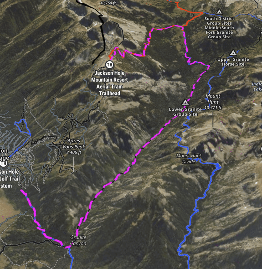
For those looking to park (it’s free) at the base of JHMR and take a trail run/hike into Teton National Park, gain some vert, get into the alpine, and end atop Rendezvous Mountain so you can download on the tram, here’s a bonus leg-burner.
Here are the basics: From Teton Village, find the Valley Trail…to Granite Canyon Trail at 1.5 miles…up Granite Canyon Trail to 8,118 feet, roughly 4.9 miles or so, hang a left to South Fork Granite Canyon Trail about 8.2 miles in, about 11.8 total miles to the top, then connect to the Rendezvous Mountain trail to the top. Total gain: about 4,260 feet.
See map below for a macro-overview. You will have access to water most of the way up Granite Canyon. This is a place to have a handy water filter.
Leave a Reply
You must be logged in to post a comment.