A look at the local icons and % possibility for moisture for the next four to five days indicates the measurable SWE may be receiving a bump in the right direction. It’s mid-March, a time to think about waxing the skinnier skis or splitboard with softer wax. As many of you know, March is often the snowiest month of the year north of the equator, and as such, keep those wide powder planks handy for the time being. We hope and expect SWE to increase as spring nears.
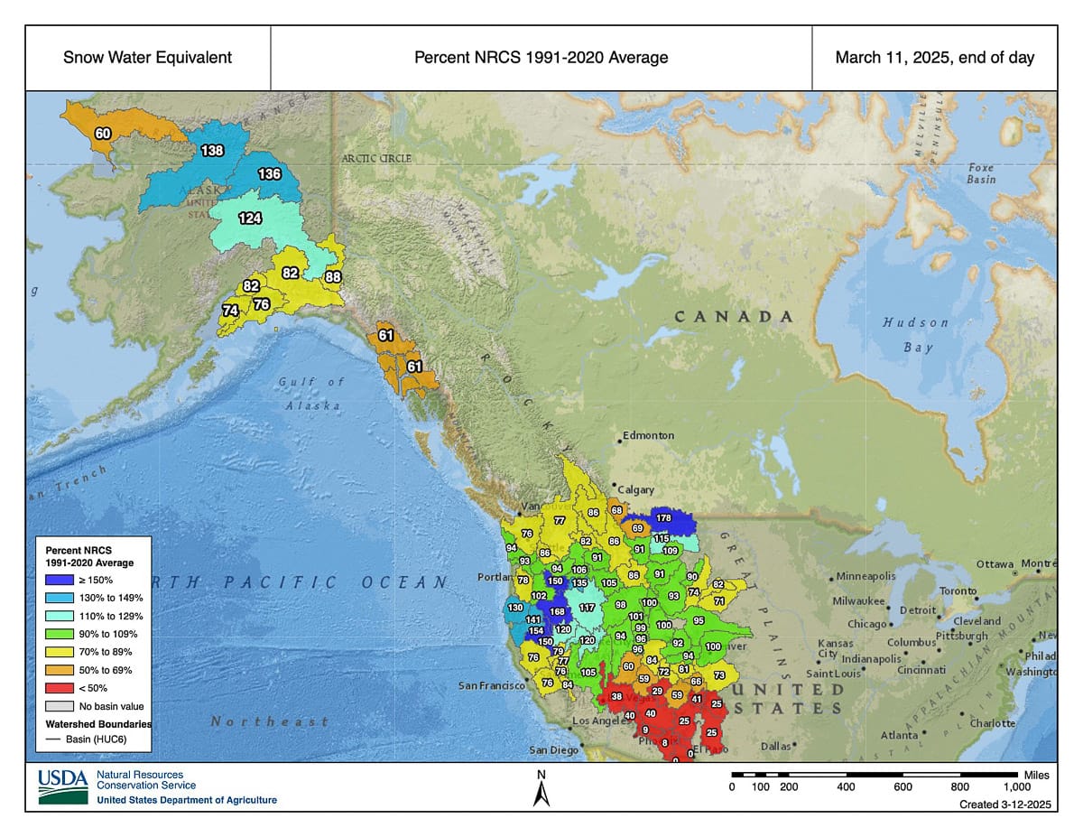
Let’s take a big-picture look. Broadly, we like to see greens, which indicate that SWE is hitting the annual averages. This is key for a whole set of ecological and agricultural reasons; it also means, barring heat waves and dust storms, we’ll have an extended snow-sliding season.
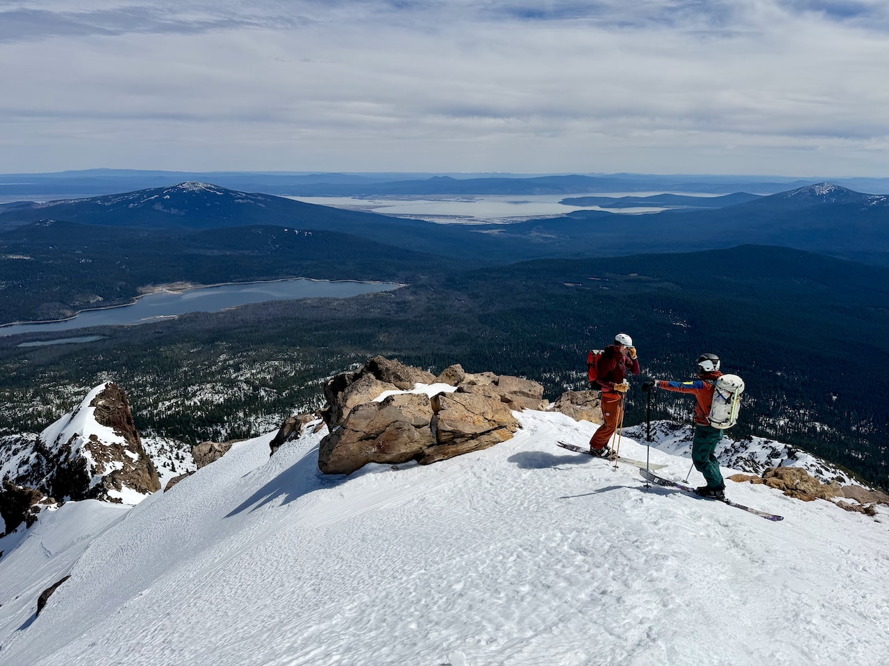
And mostly, we like what we see with some exceptions. The California high country—here’s looking at you, Sierra—could use a jolt of atmospheric energy and snow for those eyeing spring trips to the Eastside. With only a few days of biblical atmospheric rivering, the snow gods may deliver. Further north, we see a yellow band (less SWE) on the northern margins of the U.S. border into Canada, with contrasting indices of higher SWE to the south. These are general patterns. Basin-to-basin, drainage-to-drainage, and on-the-ground conditions can vary.
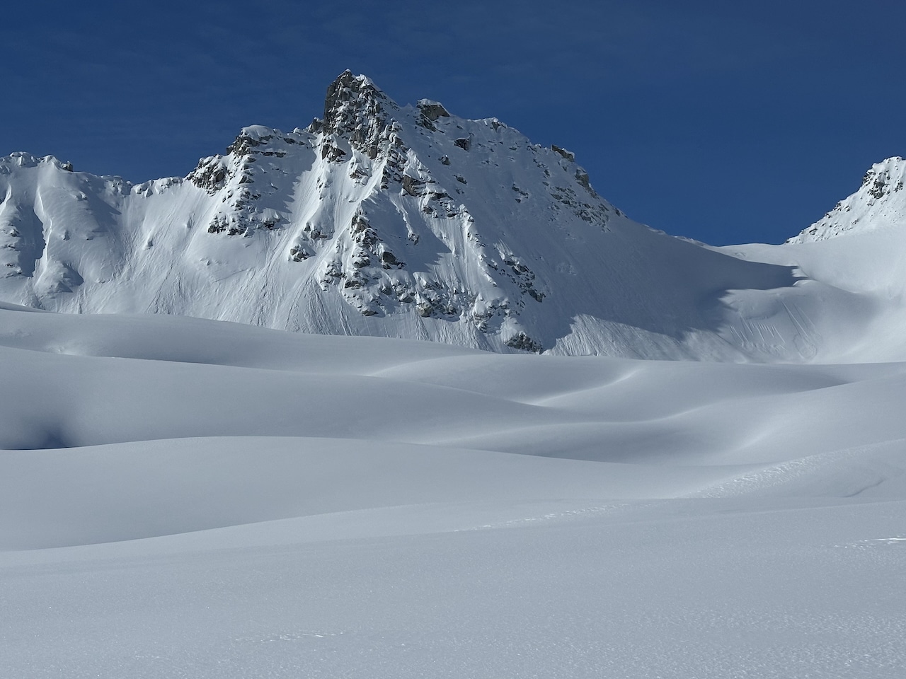
For those eyeing traverses or objective skiing in the Northern and Central Rockies, “so far,” it’s mostly “so good.” A weak start to the season has transitioned into a glass half-full proposition.
Way up yonder in Alaska, the give and take, at least around the southern and southeast portions of the state has been mostly taketh. Our fingers are crossed that maybe, just maybe, with some sweet talking, hoping, and wishful thinking, some boat-to-ski options materialize for a late spring trip.