I typed an innocuous phrase into the Google—something like “First person to solo across Antarctica on skis.” The algorithms, in all their mighty digitizing glory, populated the search with various headlines, elevating Colin O’Brady as the first person to complete a solo unsupported trek/ski across Antarctica. News to me—despite O’Brady making the claim in 2018.
Not far down on the first page of results were a few pieces calling O’Brady’s claim into question. Nat Geo led with an article titled “The Problem with Colin O’Brady.” In it, the author Aaron Teasdale goes fine-tooth-comb to support a thesis that O’Brady’s feat, which was/is mighty, was neither unsupported nor a first.
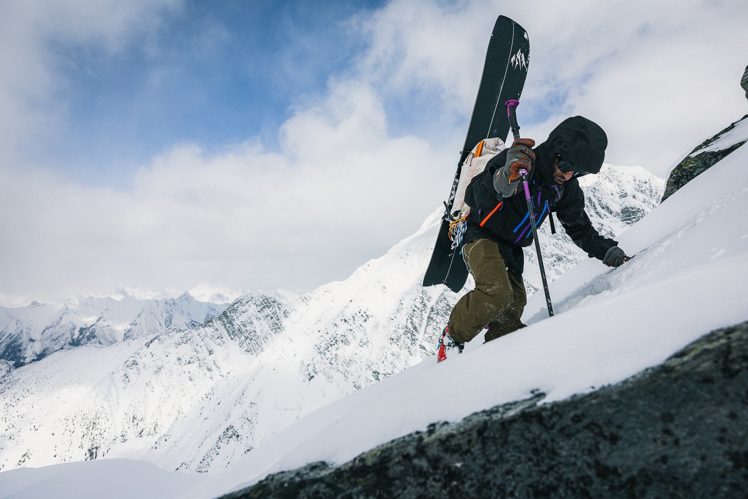
I’d read Endurance. I’d followed, from afar, the comings and goings of polar exploration. My tastes for exploration skew away from easily codified records and firsts. I assumed that a crossing of Antarctica would be mega. The widest part of Antarctica is ~3,437.5 miles, a long long long way in the most mild of conditions. But this is, after all, Antarctica. Cold. Dry. Windy. Harsh.
I looked at O’Brady’s route and needed clarification. His path, at 932 miles, has a start and end point on ice, and both appear to be inland (see map). O’Brady chose these points because they are situated over land masses (far below the ice and detected by remote sensing) and connect two opposing coastlines, or margins in polar parlance. To visualize the start and start points in this context, imagine the ice melts; this is where Antarctica’s coastline would appear. These points are “the landward edge[s]” of two ice shelves, the Ronne and Ross, respectively. If connected, as O’Brady did, this might be considered a crossing or even a full crossing.
As Teasdale mentions, traditionally, we think of a continental crossing as linking a body of water to a body of water after crossing most of the continent. Many cite Norway’s Borge Ousland as completing the first unsupported crossing of Antarctica in 1997—in total, a 1,864-mile path. Teasdale writes, “Ousland skied from water’s edge on the Ronne to water’s edge on the Ross. When he undertook his expedition two decades ago, this was considered the only way to claim a crossing of Antarctica.”