Last we focused on redundancy related to devices to communicate with emergency services absent cell service. That piece was a result of reflecting on personal practices and the January 4 avalanche on Togwotee Pass that took a life.
That incident’s final report has been released. With the insights and analysis of the Bridger Teton Avalanche Center (BTAC) and the avalanche survivors, we are afforded a huge learning opportunity—which we at THR do not take lightly considering the outcome that day.
Please take some time to read the full report.
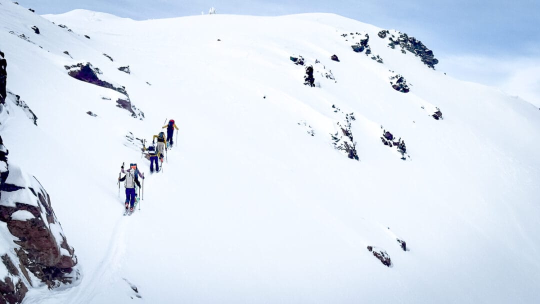
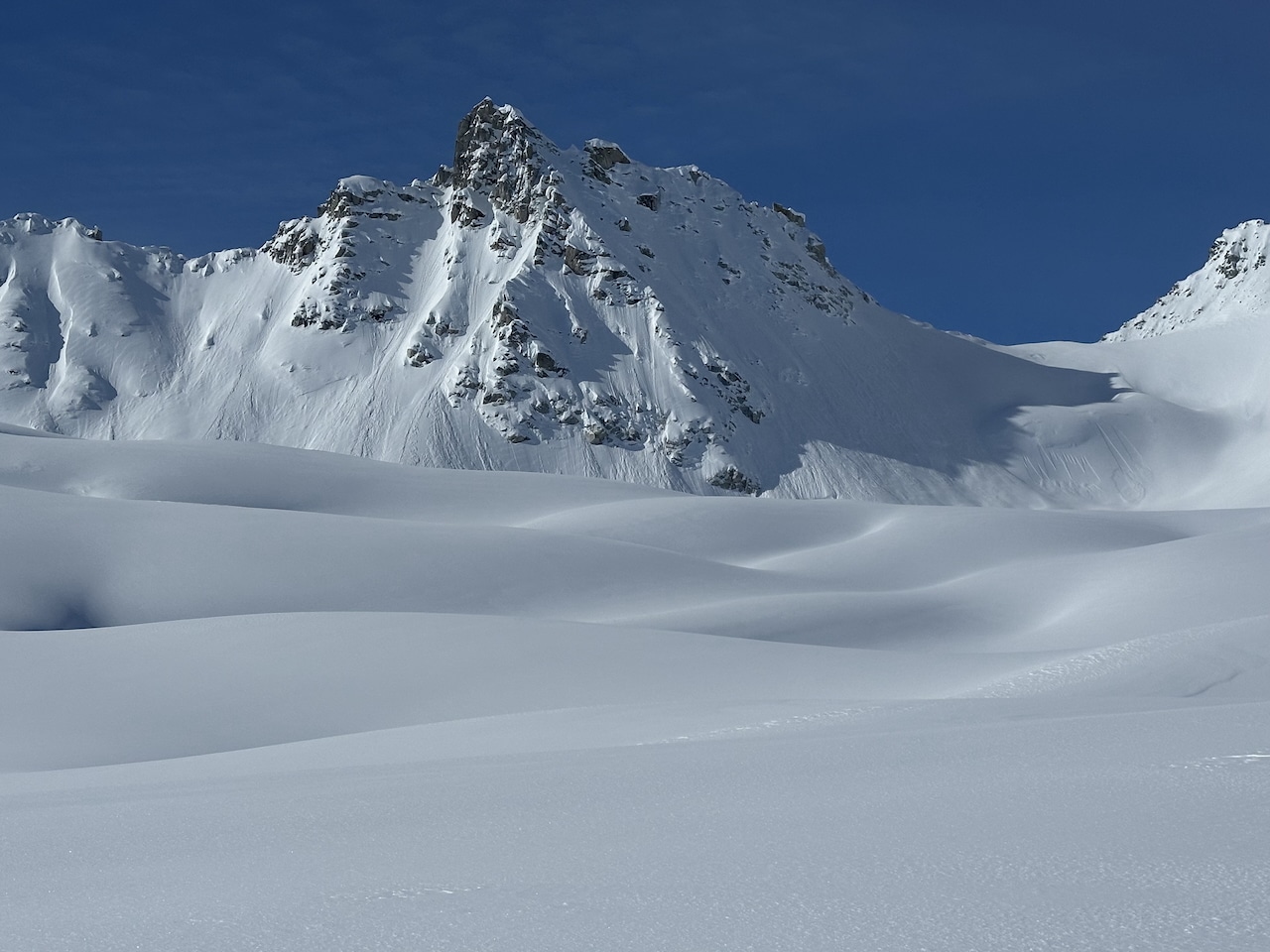
Here’s some context to clarify where we are heading. I’m planning a single-day solo traverse. We have had a solid week of high pressure which should present some optimal wintertime (read as firm and stable) conditions. However, I’m concerned about three short sections en route. However, I expect the three sections of concern to be stable. (A thanks goes out to Patrick Fink’s recent field report).
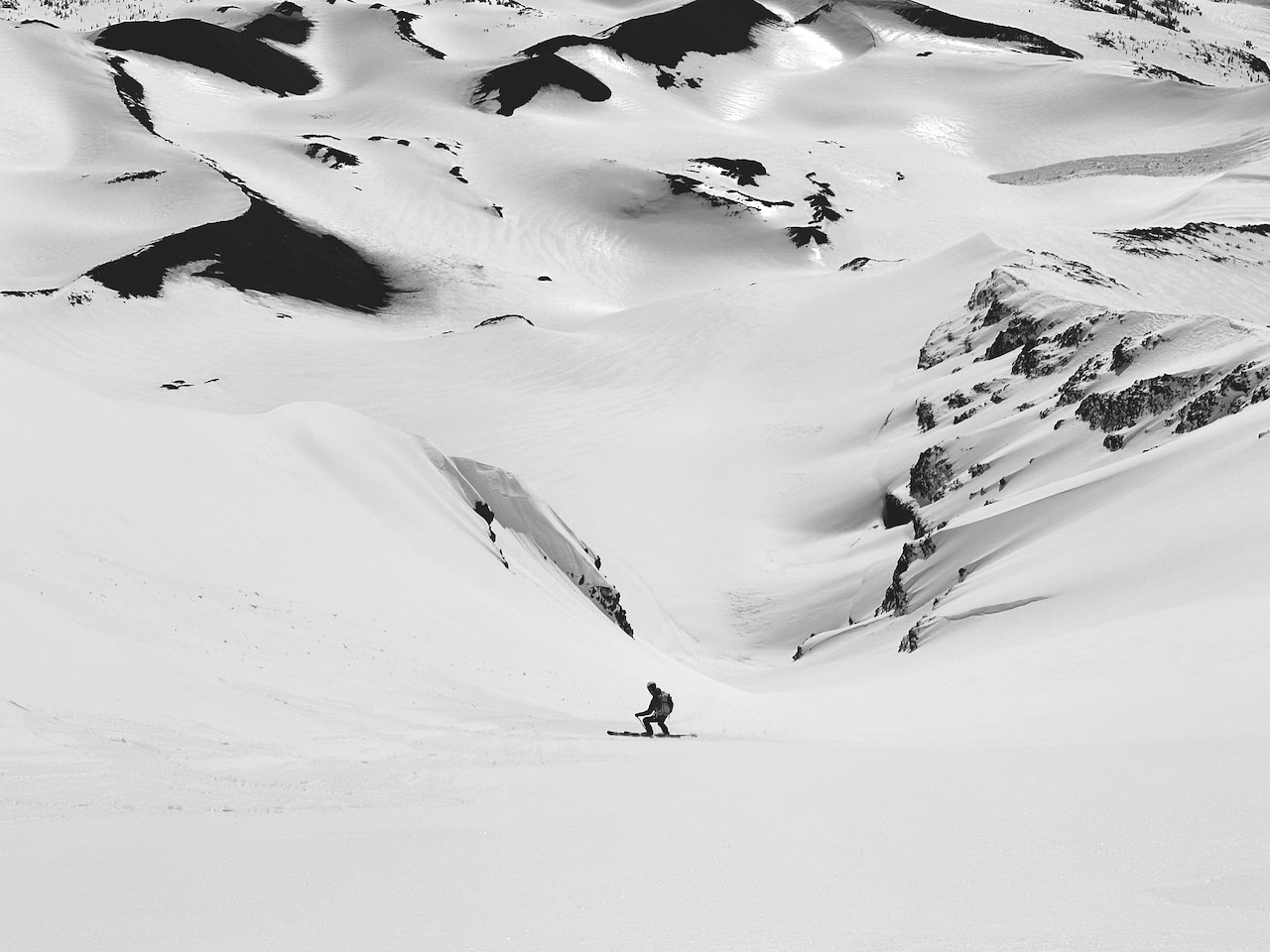
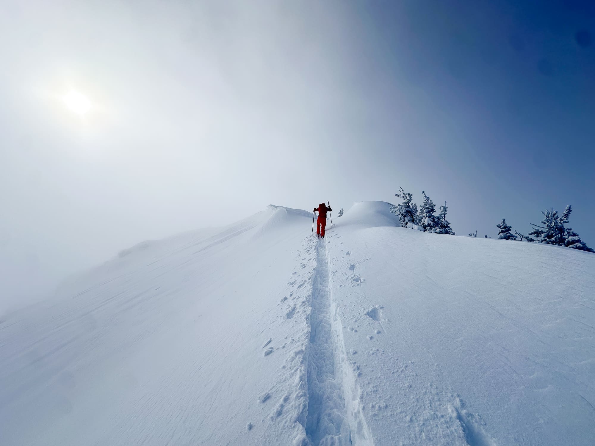
As part of my planning, I’m relying on my digital mapping app, onX in this case, to eye slope angles, and some potential re-routes if conditions are not as expected. Although I think mapping apps are helpful, I was reminded of their limitations while reading the recent BTAC report.