The sagebrush sea and a potential Central Cascade snow globe on the horizon.

The sagebrush sea and a potential Central Cascade snow globe on the horizon.


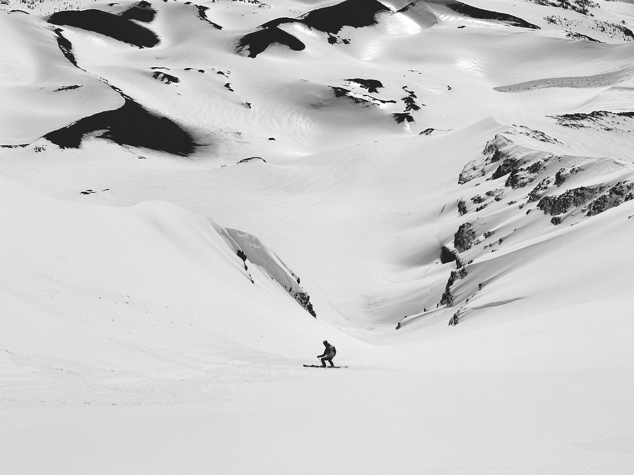
For my mental health this high and dry winter, so far, I’ve not watched the weather forecasts. At least not closely. A few weeks back, stuck in high pressure and warm temps, an odd but appreciated corn cycle set in. The local hills, crowdless and stable, became a skinnier and shorter ski playground. Good fortune also struck in the Rockies once I dialed in my older child’s whereabouts as he transected mountain playgrounds from Bozeman to SLC and back north to the Tetons. I found excellent traversing and ample facets to farm that served as a big-smile powder facsimile. I also found I don’t recover how I once could. Age happens. The upside is that a positive attitude towards the lack of snow hasn’t sullied the winter’s start. The skiing has been plentiful, and the backlog of P-tex repairs is minimal. 

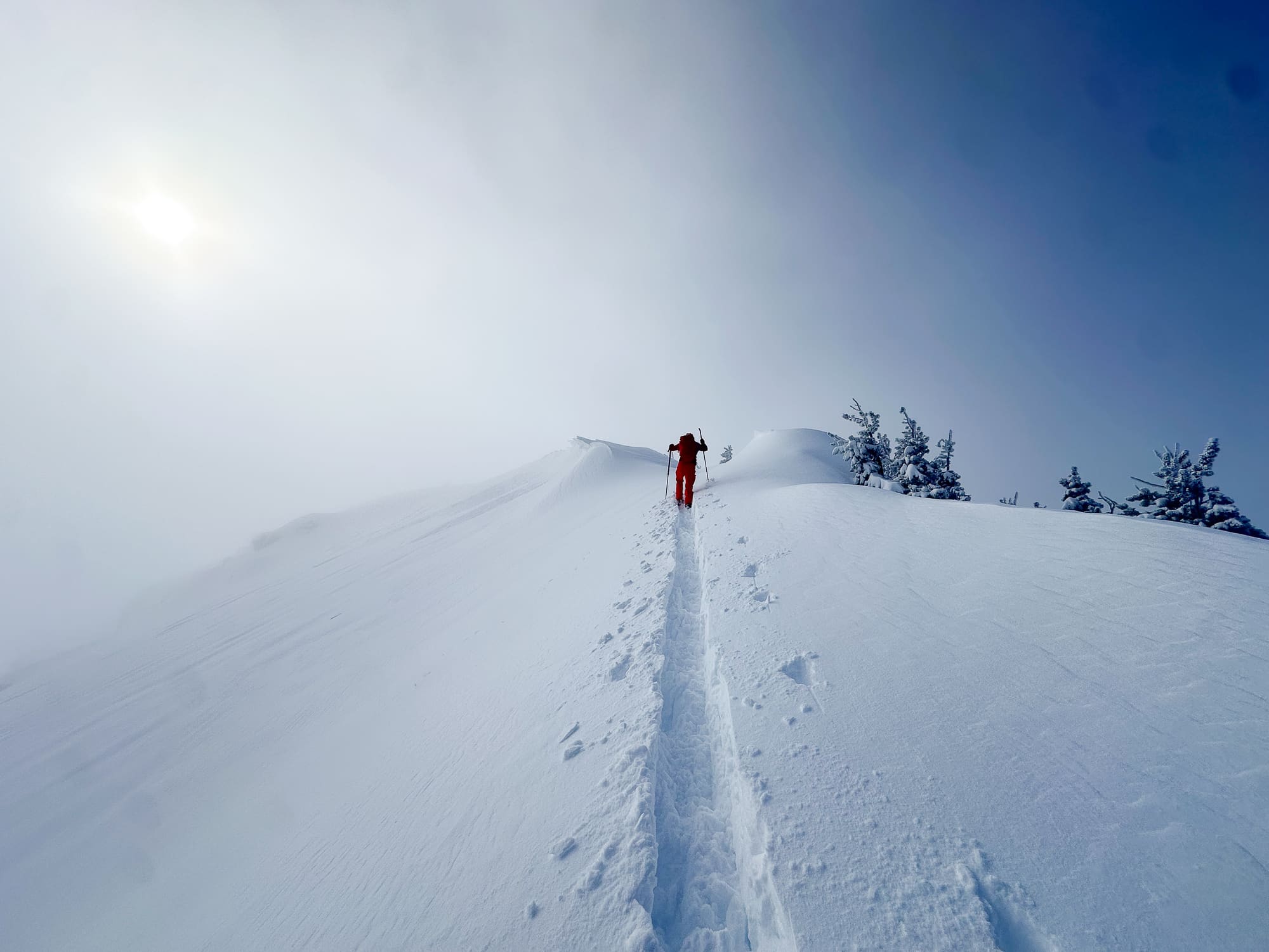
The chatter amongst friends, and likely your friends too, began on Monday or Tuesday. Forecasters called for a pivot to colder temps and troughs flowing off the Pacific and rolling into our hills. Hang tight. Tune into your local forecast. Be aware of changing avalanche conditions as snow falls and transports. Although it is winter—winter might actually be happening. 

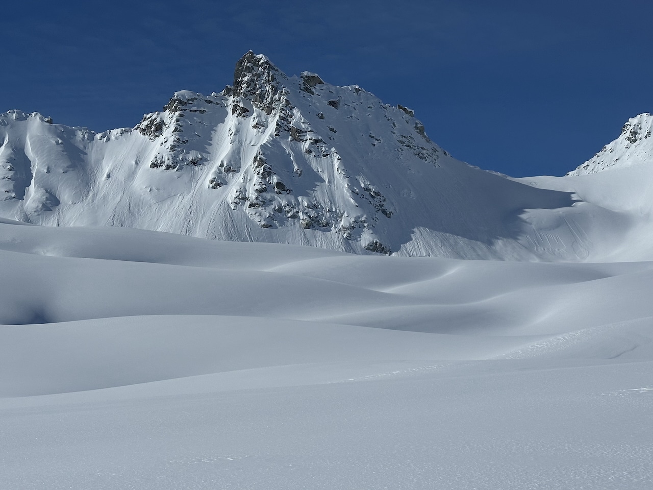
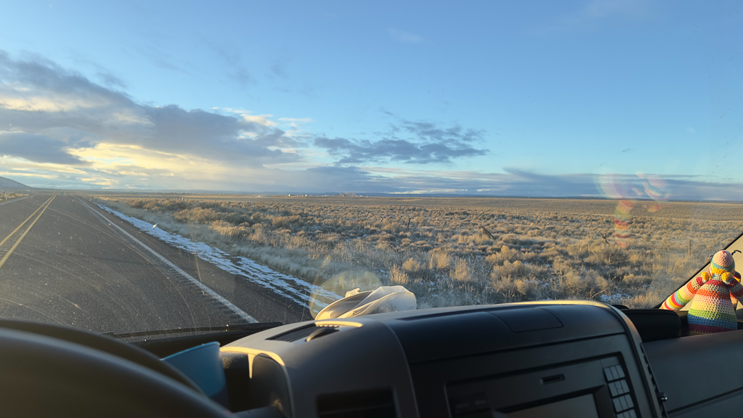
On the drive back from the Tetons, over a few high pass bumps, and across the sagebrush sea, a lovely sight greeted me sliding through the high desert: a dark gray bank of clouds shrouding the volcanoes to the west unequivocally promising snow. Although not ground-truthed this morning, the Bachelor webcam is good enough—snow fell, and it’s snowing. 

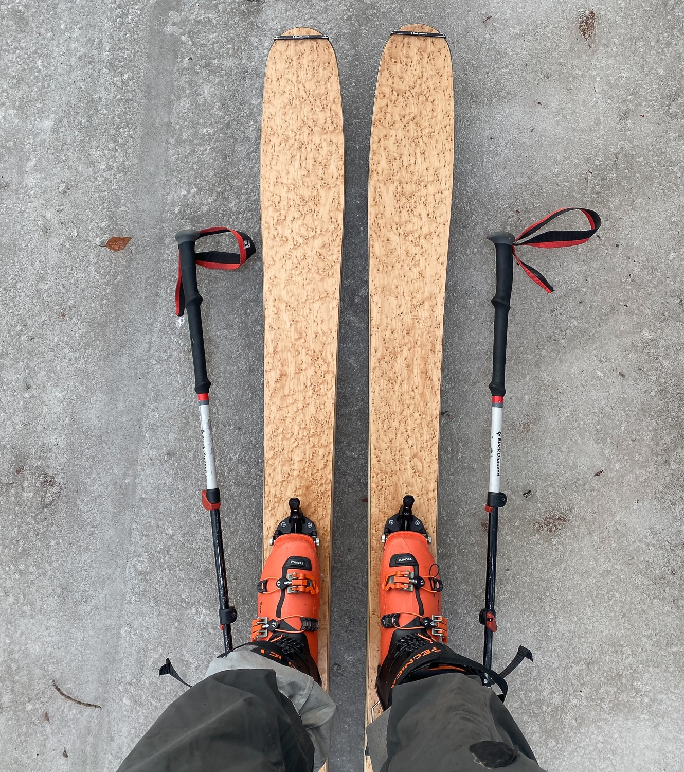
Time for the powder skis? Probably not, as I do not want to spend time mending core shots on fancy skis. Still, it looks promising. 

This morning, I began looking at the forecasts in more detail. Which meant I was back to the SkiPig WX Forecast Workflow Part II written over the summer. First, we’re checking out the forecast discussions. Many of the NOAA forecast discussions out West use similar terms, which are optimistic. 


Here’s snippet from the Western Washington NOAA discussion:

“.SYNOPSIS…A series of weather systems will keep conditions active over Western Washington throughout the forecast period. A front will move through the area this morning followed by additional frontal systems Friday into next week.”


Here’s verbiage from NOAA’s Wasatch discussion—SLC

“A progressive shortwave trough currently near 50N/145W is forecast to reach the Pacific Northwest coast this evening, then quickly dig southeast and impact the forecast area Friday. Ascent ahead of this wave will spread across northern Utah Friday morning, then into central and southern Utah by early afternoon, bringing a period of snow along the I-15 corridor and adjacent areas. A favorable moist and unstable northwest flow will follow Friday afternoon into Friday evening, resulting in enhanced orographic snowfall across favorable areas. Will likely need winter headlines for at least the higher terrain, while valleys from the Wasatch Front southward toward Scipio and Fillmore will see the first accumulating snowfall in some time. Most valleys will see an inch or two, but benches and other orographically favored spots could see local totals approaching 4 inches.

“.LONG TERM (After 12Z/5AM Saturday)…The active pattern continues. Two main storm systems are expected to impact the forecast area through the long-term period, bringing some snowfall to most (if not all) locations. Monday and Tuesday morning lows will be quite chilly, dipping into the teens along the Wasatch Front.”


Proof positive Sat Images from the Good Folks at NOAA

To slow down the Sat videos below click the >> icon on the lower right of each video and select your desired playback speed.

GEOColor

The video below is a GeoColor Sat image derived from a GIF. From NOAA: “GeoColor is a multispectral product composed of True Color (using a simulated green component) during daytime, and an Infrared product that uses bands 7 and 13 at night. During the day, the imagery looks approximately as it would when viewed with human eyes from space. At night, the blue colors represent liquid water clouds such as fog and stratus, while gray to white indicate higher ice clouds, and the city lights come from a static database derived from the VIIRS Day Night Band.”


IR Band 8 Image: Upper Level Water Vapor

The video below is an Infrared Band 8 image which helps illustrate upper level water vapor. We like the green color—moisture incoming.


IR Band 8 Image from GOES East: Upper Level Water Vapor 


To explore more about the incoming moisture, The High Route provides several links for weather and avalanche forecasting. There, broken down by zone, you can also find zone-specific links for SAT images. We’re thinking snow. You can find those resources here.