Roughly every 24 hours, coastal regions around the globe experience two tide cycles. That’s right, two low tides and two high tides. Each low tide has a corresponding upside; approximately six hours later, it will be high tide again. Wait a bit of time, and high tide inevitably comes along.
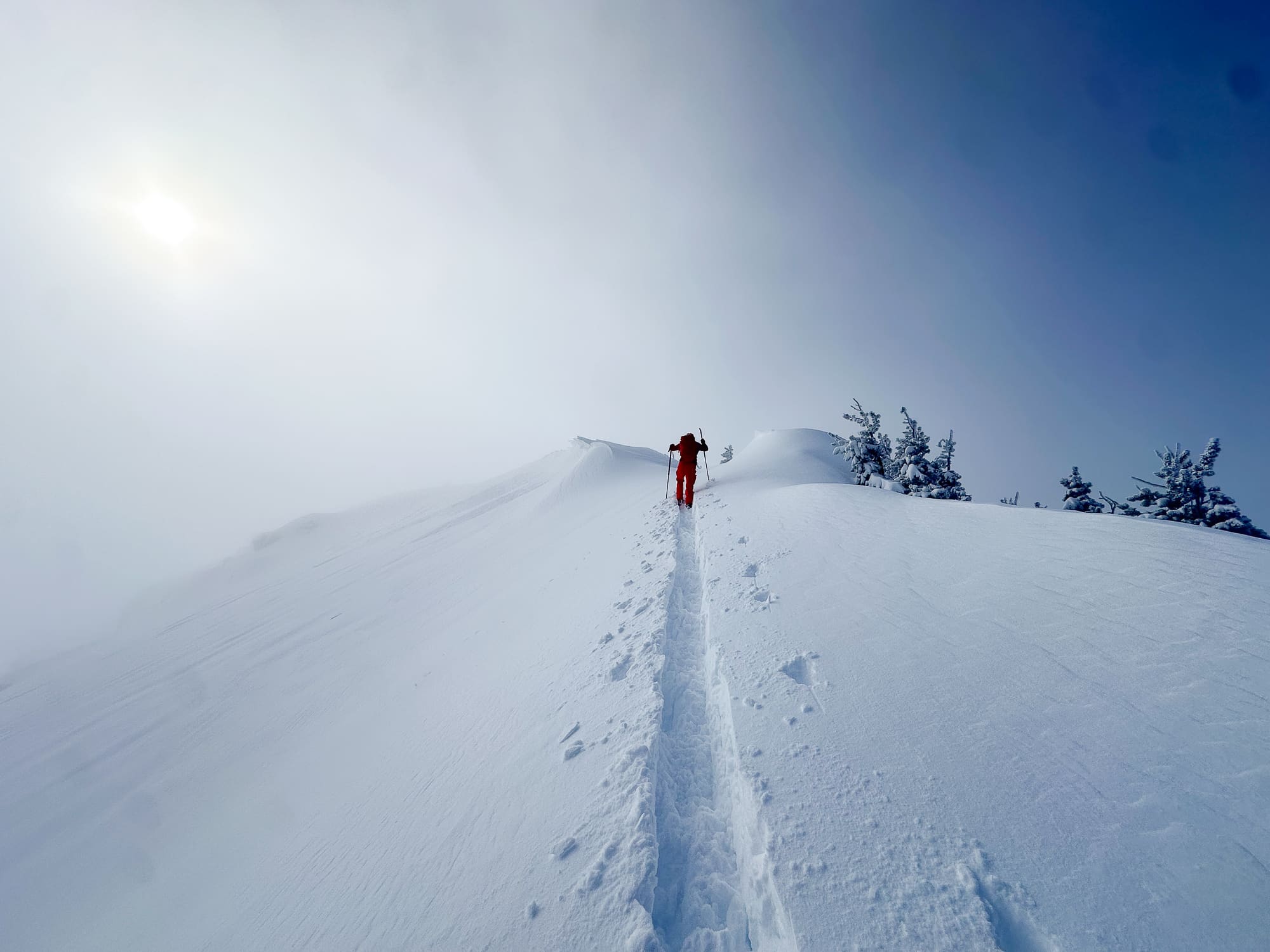
Sadly, that’s not how it plays out for powder snow seekers. Low tide can last days. Low tide can last weeks. I’m not mentioning the next logical time increment—which poses existential problems for some of us.
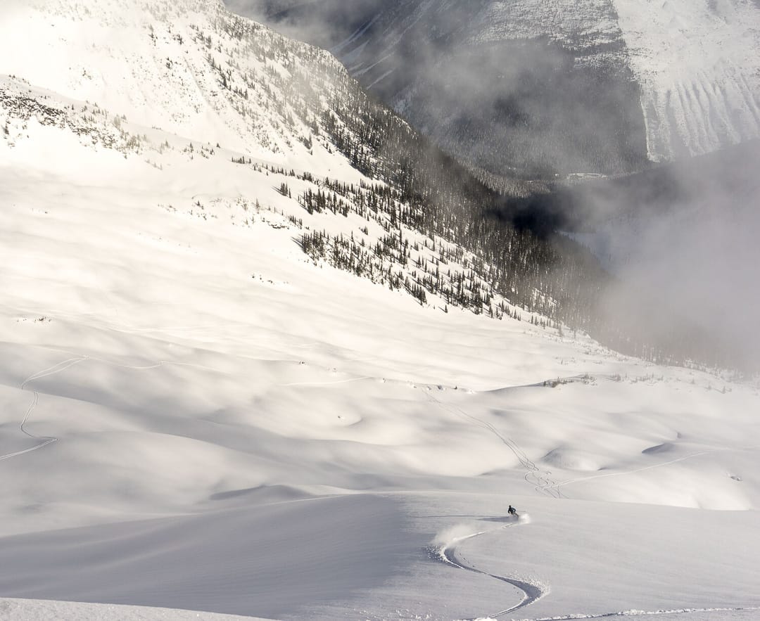
Low tide, meaning low snow totals, is the talk of the town in many parts of the lower 48. For those less patient, there’s Canada. Considering the cyclic tidal ebb and flow, Canadian tides in the mountains might look relatively ample, sufficient, and even bountiful. But, even there, low tide happens. Check your snow totals.
On more than one occasion—it’s come up often enough that this article is warranted, Rogers Pass as a touring destination seems to be on the mind of some suffering a prolonged low tide. Parks Canada administers Rogers Pass. As such, there are some regulations to navigate. Be warned: Plan ahead and be familiar with those regulations. Familiarize yourself with the local snow conditions, avalanche forecasts, and observations.
The stuff we’re presenting here is more on the plan-ahead matrix to alleviate bureaucratic hassles. And yes, have a valid passport. Gone are the days of a driver’s license as a legit-ID gateway to the Great North.
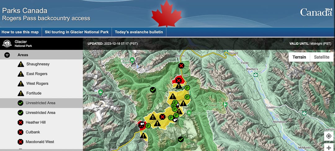
Reading the Glacier National Park/Rogers Pass Interactive Map
Parks Canada uses a nifty color-coded map to communicate open and closed zones. It’s best, and crucial, to know the color code:
Red: Closed due to active avalanche mitigation to keep the road and railways open. Think this: explosives in use.
Yellow: Zones are not under an active warning for explosives. Tourers can enter these zones with a winter permit (free) and a National Park Pass ( not free).
Green: Zones not lying within the highway control program. You’ll need a National Park Pass to enter these zones. Have a pass, and feel informed, then go tour.