
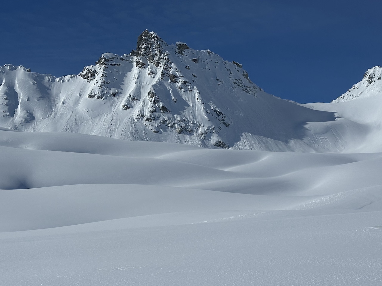
One of the first avalanche buzz words I heard as a younger avalanche student was the term Alpha Angle. It sounded important and fancy, so I latched on to it and tried to incorporate it into any avalanche path discussion I could to sound smart. Little did I know that at the time, I had a relatively poor understanding of the term, and thus would have sounded ridiculous to my current self. Not only did I have a poor understanding of the term, but I also had little understanding of where the concept of Alpha Angle fit into a bigger picture of understanding avalanche terrain.
Below, I will try to break down, in simple terms, what an Alpha Angle is, how it differs from a Runout Angle, and how recreationalists can use both measurements to better understand and analyze avalanche terrain.
I want to preface this by noting that the measurements taken in the manner I describe should be treated more as rough estimates, and that avalanche mapping is highly complex and challenging. If you want, you can go to school for many years to study this topic. But what I am about to go over is really a 10-minute crash course on the topic.
First, let’s define a few things. Avalanche paths come in an immense variety of shapes, sizes, and characteristics, but it is easy to describe the three main parts of an avalanche path. There is the Start Zone (aka Probable Release Area), the Track, and the Runout Zone. We can think of a Start Zone as the area where an avalanche is most likely to release, the Track as the area where the avalanche will run, and the Runout Zone as the area where the avalanche will decelerate and debris will accumulate. Typically, slopes capable of producing avalanches are steeper than 30 degrees in Slope Angle Steepness (but not impossible to be less), and it is necessary to understand that Slope Angle Steepness is different from Runout or Alpha Angle. Slope Angle Steepness is a measurement of how steep or inclined a slope is, not a measured point in relation to a Start Zone.
Understanding the difference between Runout Angle and Alpha Angle helps us understand what avalanche forecasters/educators are describing, so it is important to know the differences.
Alpha Angle is the angle created from horizontal at the theoretical maximum extent of an avalanche path to the top of the Start Zone. Determining Maximum Extent is a science in and of itself, and professionals use many types of models, measurements, observations, and data to make these determinations. Because every avalanche path is unique, the Alpha Angles for each path will vary. Alpha Angles will commonly range from the mid-teens to the low twenties. There is a common belief that we can use averages for different snowpack types (Maritime, Intermountain, Continental), but in reality, it is more nuanced. However, we do often see some consistency on a more local scale, such as within a range or region.
A Runout Angle differs in that it is the angle created from horizontal at any point along an avalanche path to the top of the Start Zone. Any point along a path will have a Runout Angle all the way to its maximum extent, and we can even calculate Runout Angles beyond that. So, unless you are talking about the maximum extent of an avalanche path, you are referring to a Runout Angle. If you are talking about the maximum extent of a path, you are referring to the Alpha Angle.
How Can We Use These Measurements?
Avalanche-mapping professionals use these measurements in a variety of ways; here is a simple example. A ski resort wants to build a new lodge at the base of a big bowl, and they want to analyze how threatened that lodge would be to avalanches. For the proposed lodge’s scenic site, they will measure a Runout Angle to the top of the Start Zone of the big bowl. The higher the Runout Angle at that site, the greater the potential for the lodge to be hit by an avalanche; the lower the Runout Angle, the lower the chance, and they will have to determine mitigation strategies accordingly. Perhaps the ski resort does not want to perform mitigation to prevent avalanches from hitting the lodge, so they will use a series of measurements (potentially starting with the regional Alpha Angle average) to determine the big bowl’s max extent, and will build the lodge beyond that. This is, of course, an oversimplification of what would actually occur, but it gives an idea of how these measurements are used.
Now, how can these measurements be helpful to us as recreationalists? For me, it is rare that I try to precisely determine the maximum extent, as I am not usually skiing in conditions that would produce the type of infrequent avalanches (think once in a 100 years) that would run to the maximum extent. I am also not in the business of building ski lodges. But I do spend a lot of time in avalanche terrain, and often live in avalanche terrain on base-camp trips, traverses, and expeditions. So, I can use a Runout Angle measurement to decide whether a camp or travel route is threatened by avalanches, and, if so, how exposed it is.
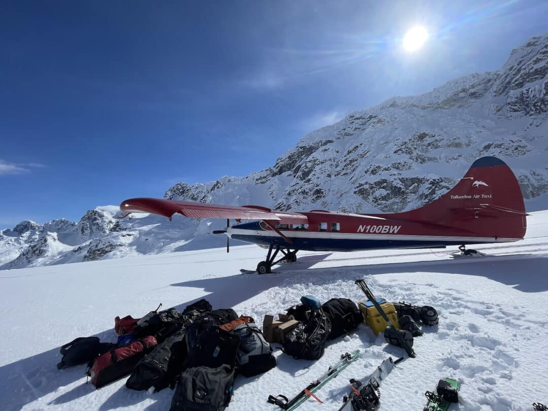
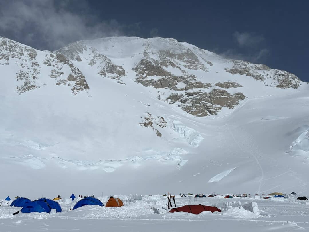
I also spend a lot of time setting up camps in big avalanche terrain, and since you spend more time in a camp, potentially through a storm period, I almost always calculate a Runout Angle for my camp relative to the surrounding terrain. A simple starting angle for determining whether a location is outside an avalanche path is around 19 degrees. Keep in mind that this is not a precise measurement of Alpha for the max extent, but a good reference point that works for most situations. Are there Alpha Angles for certain paths that are lower than 19 degrees? Definitely, but with a 19-degree runout angle, I usually feel pretty good. There are also plenty of camps I stay at regularly that have Runout Angles greater than 19 degrees. Has anyone ever slept at the 14k Camp on Denali? You don’t want to know the Runout Angle there relative to the surrounding paths. However, Denali’s 14k Camp is an example where historical precedent weighs heavily, and it has a history of being a safe camp, so I sleep there all the time with little concern.
You can use the same principle to determine the exposure to avalanches along a travel route. The higher the Runout Angle of a point along a travel route, the more exposed the route is. If you want to avoid exposure to avalanche terrain from above, you can also use that simple 19-degree Runout Angle as a safe “rule of thumb” starting point. At an angle of 19 degrees or less, you can be pretty sure you are beyond the potential for an avalanche to run. Again, some paths can run beyond a 19-degree runout angle, but it is uncommon. Again, many factors determine a path’s maximum potential extent.
Lastly, as a recreationalist, a Runout Angle measurement can be used to determine the significance of an avalanche that has already occurred. We can determine this by taking a simple measurement from the toe of the debris pile to the top of the crownline. This isn’t measuring the path as much as it is measuring the avalanche’s Runout Angle. If you notice that an observed avalanche has a low Runout Angle, you can assume that whatever avalanche problem you are dealing with could also produce long-running avalanches with low Runout Angles. Take note and adjust plans accordingly. Below is an excellent how-to resource from the American Avalanche Institute regarding the angles discussed above.
How to Determine Runout Angle?
There are two main ways to determine a Runout Angle for a given point. One requires a map and trigonometry, while the other requires an inclinometer in the field.
To determine a Runout Angle for a certain point using a map and a calculator, you first need to determine the vertical fall and horizontal run from the top of the Start Zone to your point. When determining this, it is important that your units for Fall and Run are the same (feet to feet or meters to meters). When drawing a line profile on a digital map, it is best to follow the path, including its turns, bends, and dips. (I know it’s not a perfect triangle). Once you have your Fall and Run, it’s simple middle school trigonometry (make sure you are calculating for degrees):
tan-1(Fall/Run)
Here’s an example of a run that has 1500 ft. of vertical Fall and 4000 ft. of horizontal Run.
tan-1(1500/4000) = 20.6 degree Runout Angle
In the field, this calculation can be done simply with an inclinometer. Standing below a slope, shoot an angle to the top of what you would estimate to be the path’s Start Zone and note the angle. This can be done analog style with an inclinometer or some compass models, and if using a smartphone, my favorite app is the surveying app Theodolite.
How to Determine Alpha Angle?
Now, I don’t want to open a can of worms here, as this is a much larger discussion. That said, there are a few simple things we can do in the field to get an idea of a path’s maximum extent. The first and most reliable method is looking at tree and vegetation clues. Trimlines, flagging, and damage in the Runout Zone are some of the most reliable data sources. A fun exercise is to walk around towards the bottom of a path’s Runout Zone and take some measurements. What is the measured angle to the top of the Start Zone from the point at which you don’t see any tree damage? You could be close to determining Alpha. Historical data helps as well. Places in Europe have hundreds of years of records of certain avalanche paths, but here in North America, we don’t have quite the dataset. Using our knowledge of a local zone or region can be helpful. If an area is known to have a certain average in Alpha Angles, you can use that zone’s average as a starting reference point for your assessments. Again, a good universal starting angle that I tend to use is around 19 degrees.
However, terrain shape will have a big influence on a path’s potential maximum. Channelized or funneled paths tend to run farther, whereas paths that are open, broken up by terrain/vegetation, or have a rounded belly shape may not run as far. Features that allow an avalanche to accelerate, such as long, uninterrupted paths, may cause it to run further. Benches, interruptions, or abrupt slope changes may not allow for as far a run. Snowpack data, computer modeling, and other statistical models are also used, but let’s leave it here for this discussion. (Below is another solid American Avalanche Institute how-to-measure explainer.)
While this piece may be a bit nerdy, I think there is utility in understanding Runout and Alpha Angles as a recreationalist. While it is certainly not required, I think it is good to have the skill of measuring a Runout Angle using either a map or in the field for those spending time camping in avalanche terrain, and/or people skiing in more dynamic avalanche conditions. If anything, it’s worth being able to sound cool (read as knowledgeable) with a bit more avalanche lingo.
Leave a Reply
You must be logged in to post a comment.