Let’s get this going the old school way: “There I was….”
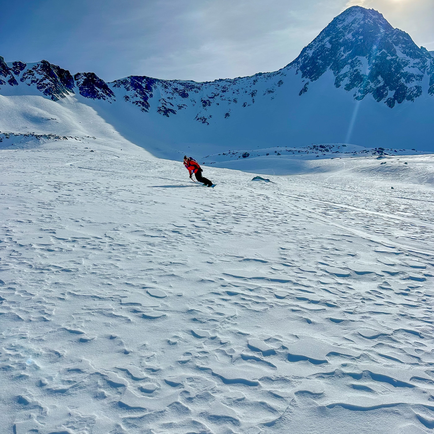
There I was, skinning up a lightly forested south-facing windward slope. Just the other day, in fact. A slope often riddled with exposed downfall and just enough snow to set a skin track. But with this ample early winter in the Central Cascades, this slope, an afterthought on the way to the terrain beyond, got our attention. To quickly assess how much snow had deposited on a somewhat firm layer below, we probed ski poles, did a hand shear test, found things amply stable, and proceeded to have fun after our decidedly low-tech snow assessment.
A year from its initial release, I also took some time that morning to go a bit more hi-tech as I used the Avy App: a clean, streamlined app designed by folks at the Northwest Avalanche Center. We’ll get into the details, but what makes this digital useful is its lack of busyness—it caters to those seeking key information about a region’s or zone’s avalanche forecast, weather, and observations.
As a tool, its functionality begins with choosing an avalanche center to access data. The Avy App includes numerous, but not all, forecast centers. To date, the Avy App bundles forecasts and related data from the Bridger Teton Avalanche Center, Bridgeport Avalanche Center, Crested Butte Avalanche Center, Central Oregon Avalanche Center, Flathead Avalanche Center, Mount Shasta Avalanche Center, Mount Washington Avalanche Center, Northwest Avalanche Center (NWAC), Sawtooth Avalanche Center, and the Sierra Avalanche Center.


