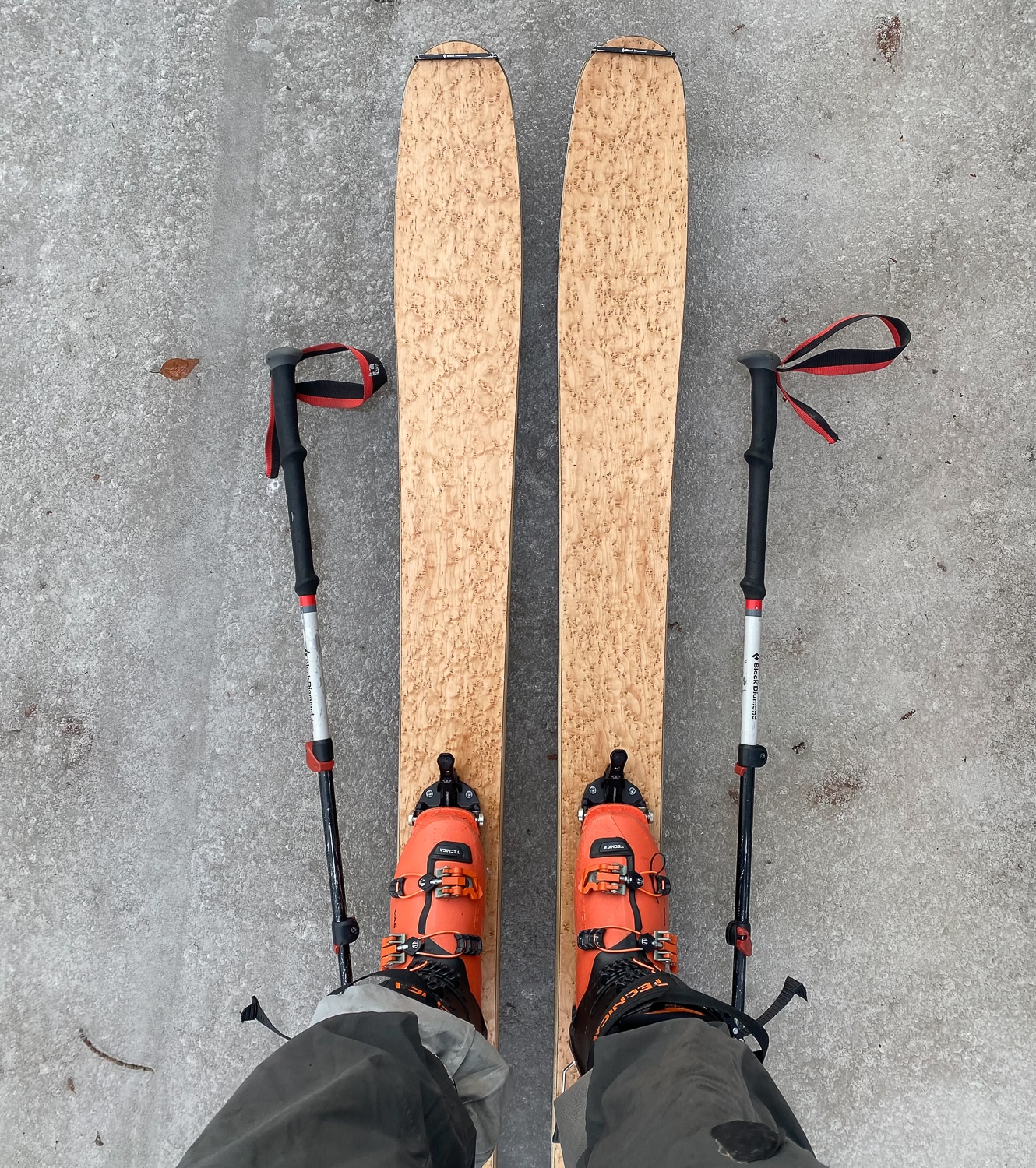
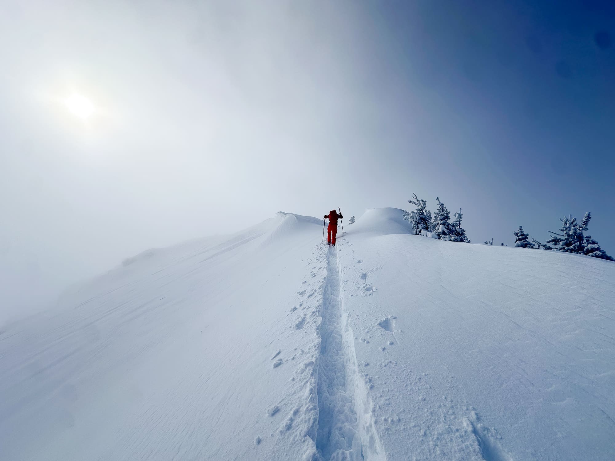
Perhaps we were a bit naive. Although we are public land fans and appreciate much of what the Federal Agencies do for our recreational endeavors, we were startled to be greeted this morning by a large banner on the NRCS site (where we harvest SWE—snow water equivalent data) referring to some sort of radicals among us, and an even more chilling statement: “…this government website will not be updated during the funding lapse.” I mean, we like cold. But reading that statement was/is cold. However, a few clicks later, boom, our SWE data dreams were realized. FWIW: a government without SWE data, and even more, a backcountry community without access to SWE info and SNOTEL sites—that’s downright radical. We digress. It is late October. The snow gods have been gracious in most of North America. This is to say, barely-covered rocks and trees lurk. Despite the inherent risk of early-season conditions, the SWE readings at the basin and sub-basin levels look mighty fine. Grab the rock board and planks (and a helmet), and maybe go slide on some snow. We have, however, consulted with our esteemed legal department. Descend at your own risk. Let’s check out AK first. A glimpse of Washington SWE. A bit further south in Oregon looks swell, too. The data don’t lie. (At least we believe the remote sensors are accurate.) Good on you Cali. On to Idaho. The Cowgirl and Cowboy state doing fine. And Utah—yeah, they gots some SWE. New Mexico! The Big Sky state looking proud. It’s SWE, but somehow it’s putting the “rad” back in the Rado.
Yeehaw! Late-October SWE
The THR Department of Atmospheric Rivers slides into first gear with some generous SWE data.
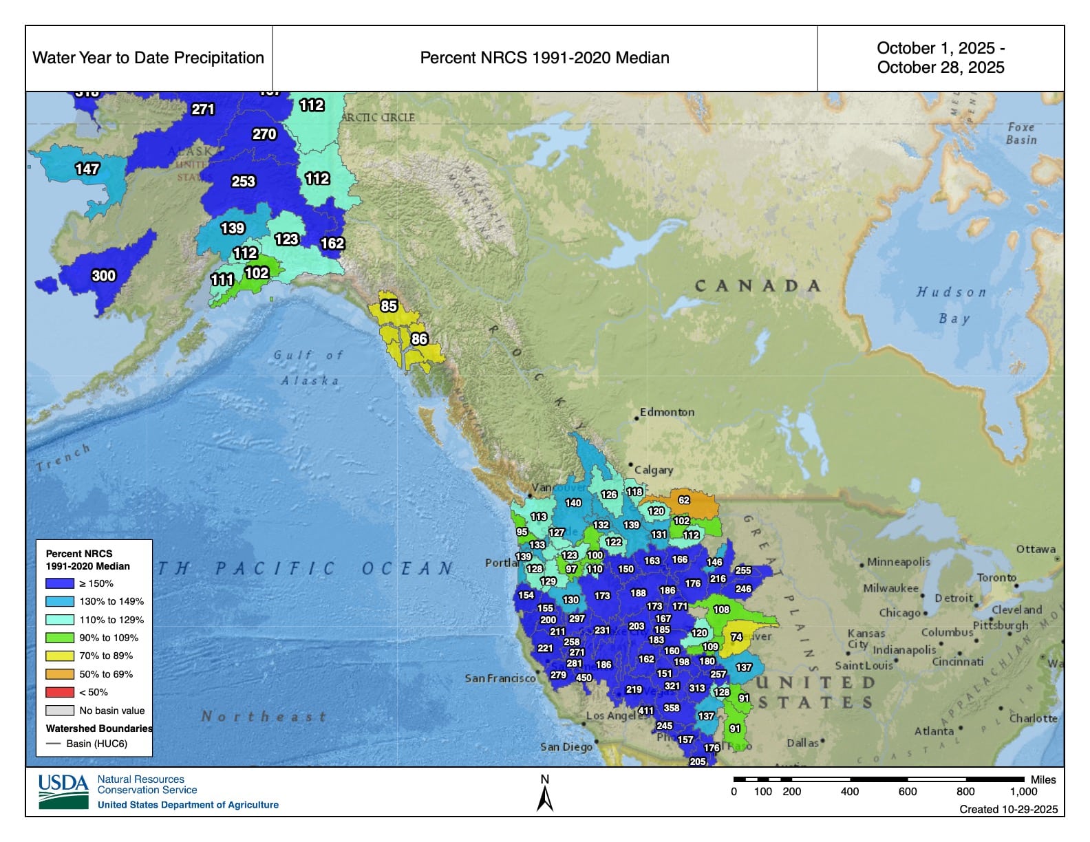
Those color shades in the blur part of the spectrum, that's good news for early season SWE. Thanks NRCS for the data.
Latest Features
-
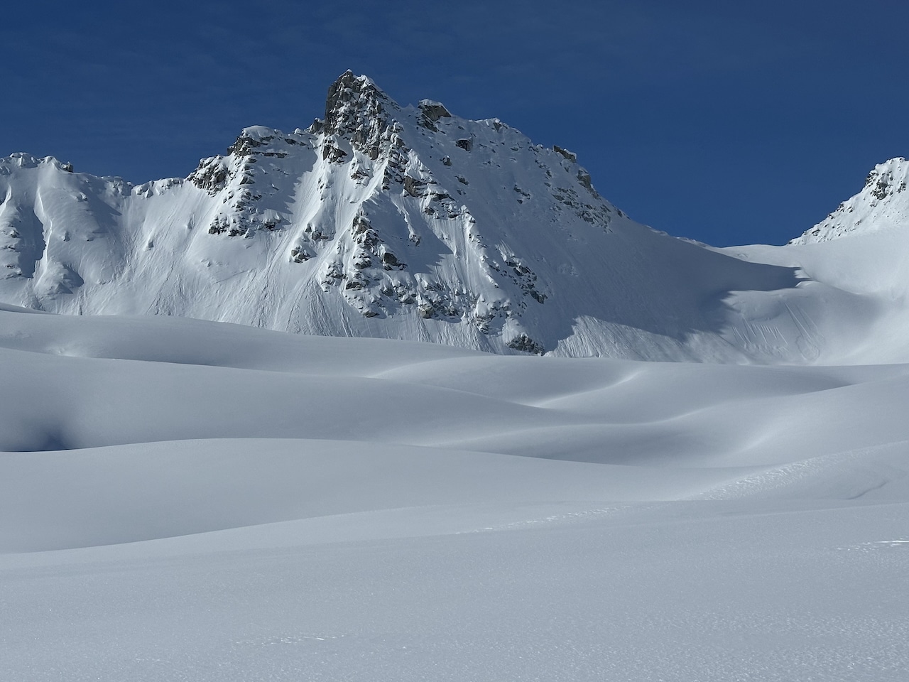
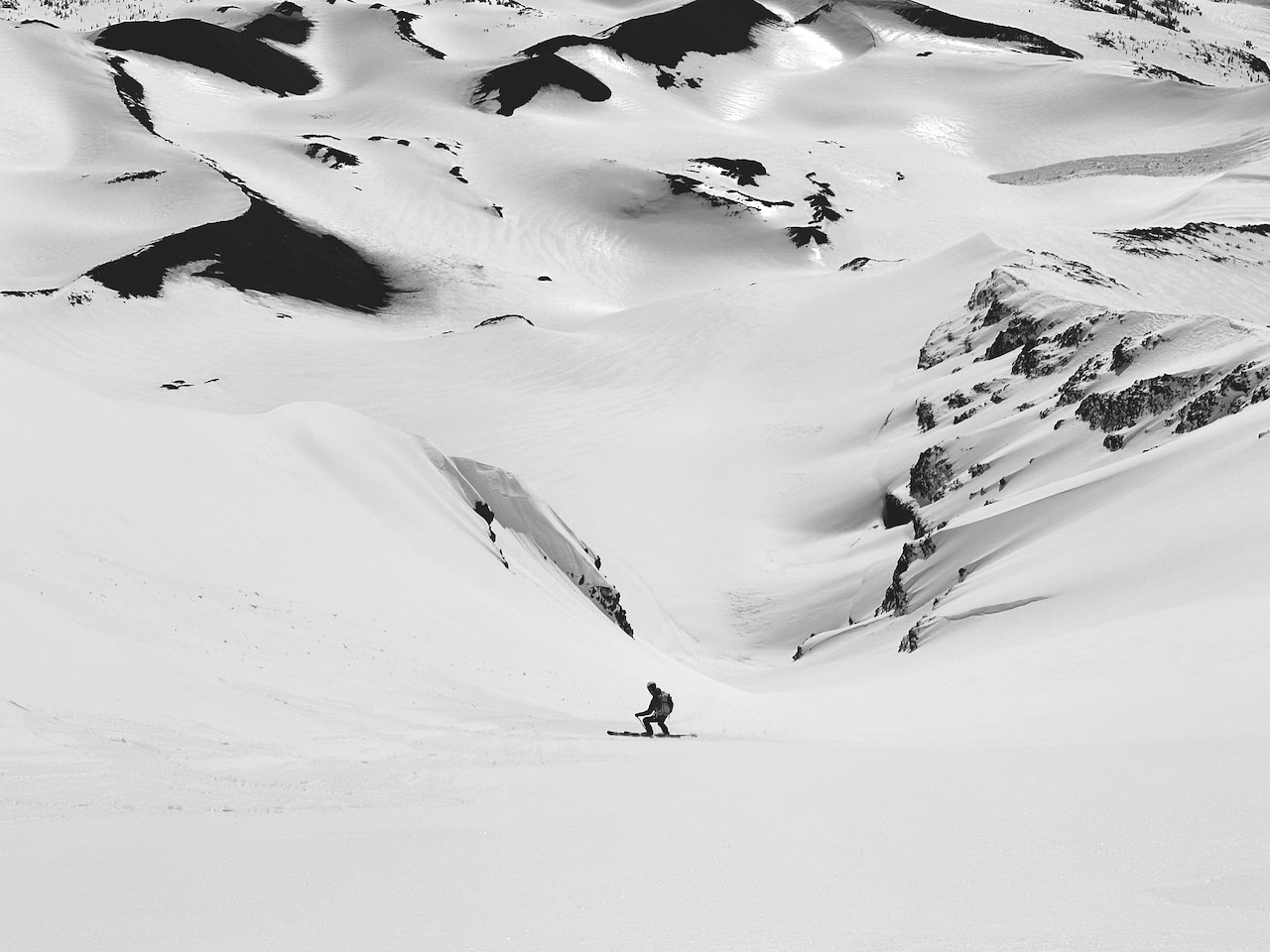
In Alaskan terrain, being mindful of runout and alpha angles is a wise mindset. Photo: Bill Haas
Understanding Alpha and Runout Angles
Two data points to help keep it real and safe in avalanche terrain.
-
The timing is right: perfect corn.
The Spring Mindset Shift
Longer days, warmer days: Time for a spring-centric mindset shift.