Rocky Talkie 5 Watt Radio Review
Rocky Talkie’s 5 Watt Radio adds more: more power, features, and some weight—the robust unit might be your new comms go-to.
Read More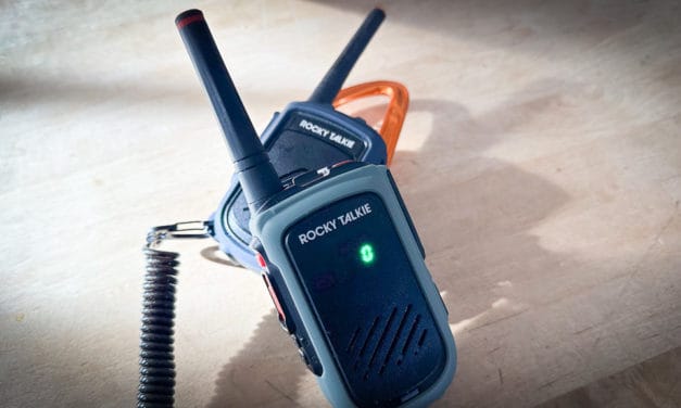
Rocky Talkie’s 5 Watt Radio adds more: more power, features, and some weight—the robust unit might be your new comms go-to.
Read More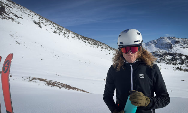
It’s worth a bit more verbiage to dissect the helmet standards. The helmet standard primer is just that, a primer, but more details make us better informed. In short—not all standards are created equal. Let’s dig in some more.
Read More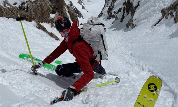
We side with the notion that you should bring along the helmet you are most likely to wear. Here’s a THR primer on ski helmet standards.
Read More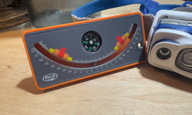
Ian McCammon presents some compelling data that should make us think twice about basing decisions in avalanche terrain primarily on slope angle. We’re human after all—be slope measurement aware, and be aware of potential measurement inaccuracies.
Read More
Here in the West the high pressure is breaking down and troughs are on the horizon. Maybe it is time to shelve the rock boards—the tide is rising.
Read More